
Kinderbeuern, municipality of Germany
Location: Bernkastel-Wittlich
Elevation above the sea: 168 m
Shares border with: Bausendorf, Bengel, Kinheim
Website: http://vgtt.de
GPS coordinates: 50.00944,7.02333
Latest update: April 26, 2025 02:11
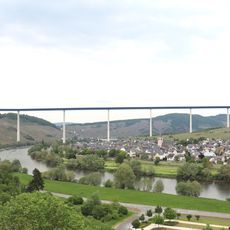
Hochmosel Bridge
4.8 km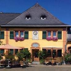
Staffelter Hof
5.4 km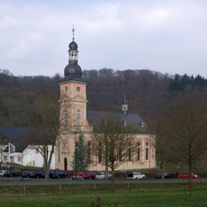
Spingiersbach Monastery
3.7 km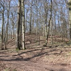
Wall section of the Erdener Burgberg
2.7 km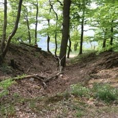
Landwehr
6.3 km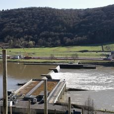
Staustufe Zeltingen
6.5 km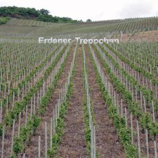
Erdener Treppchen
3.1 km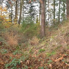
Section wall Kröver Burgberg
6.3 km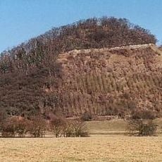
Neuerburger Kopf
5.8 km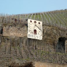
Zeltinger Sonnenuhr
6.4 km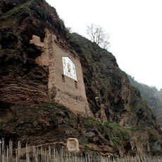
Ürziger Sonnenuhr
3.1 km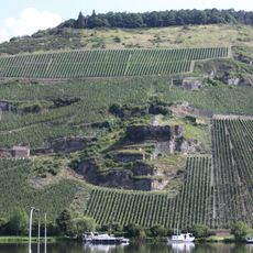
Burg Zeltingen
6.5 km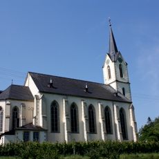
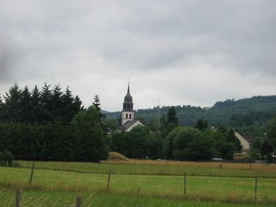
St. Vitus
4.2 km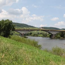
Moselbrücke Zeltingen
6.2 km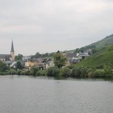
St. Remigius
5.7 km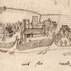
Burg Lösnich
4.1 km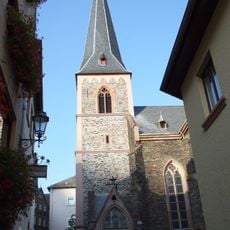
St. Maternus
3.7 km
Lüxeberg
5.8 km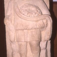
Römische Villa bei Kinheim-Kindel
5.1 km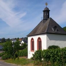
Grabkapelle Kesselstadt
5.8 km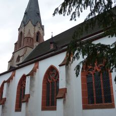
St. Quirinus
3 km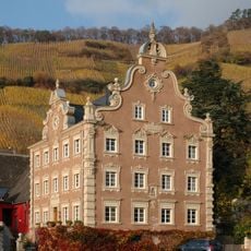
Himmeroder Hof
3.3 km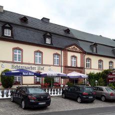
Echternacher Hof (Kröv)
5.7 km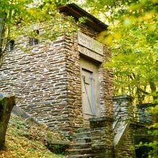
Altes Wasserwerk Lösnich
6.3 km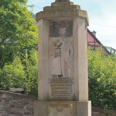
Kriegerdenkmal
5.7 km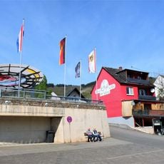
Tourist-Information Kröv
5.8 km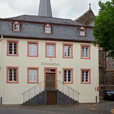
Pfarrhaus
3.7 km
Pfarrhof
5.5 kmReviews
Visited this place? Tap the stars to rate it and share your experience / photos with the community! Try now! You can cancel it anytime.
Discover hidden gems everywhere you go!
From secret cafés to breathtaking viewpoints, skip the crowded tourist spots and find places that match your style. Our app makes it easy with voice search, smart filtering, route optimization, and insider tips from travelers worldwide. Download now for the complete mobile experience.

A unique approach to discovering new places❞
— Le Figaro
All the places worth exploring❞
— France Info
A tailor-made excursion in just a few clicks❞
— 20 Minutes