
Rehfelde, municipality in Brandenburg state, Germany
Location: Märkisch-Oderland District
Elevation above the sea: 55 m
Shares border with: Strausberg, Rüdersdorf bei Berlin
GPS coordinates: 52.52000,13.92917
Latest update: March 3, 2025 10:30
Bundesleistungszentrum Kienbaum
6.6 km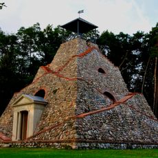
Pyramide Garzau
2.3 km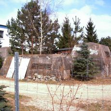
Bunker Kagel
5.3 km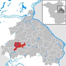
Gladowshöhe
3.9 km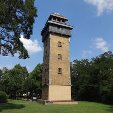
Wachtelturm
5.8 km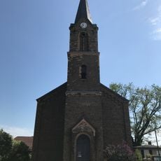
Village church Kagel
6.7 km
Maxseesiedlung
6.4 km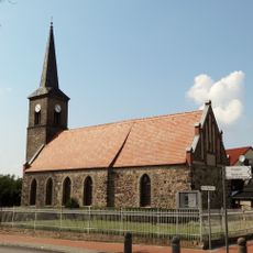
Village church Hennickendorf (Rüdersdorf)
5.8 km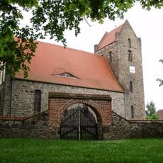
St.-Anne's church Zinndorf
2 km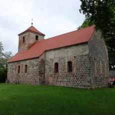
Church in Garzau
1.9 km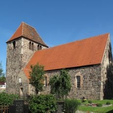
Church in Garzin
4.7 km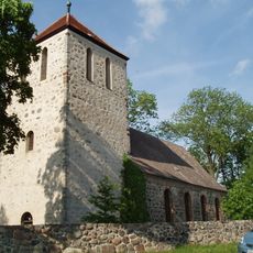
Village church in Werder
942 m
Steuerhaus
5.2 km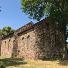
Village church Hohenstein
5.9 km
Burgwall Garzin
4.9 km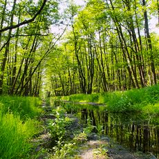
Herrensee, Lange-Damm-Wiesen und Barnim-Hänge
5.2 km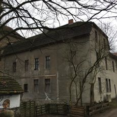
Mühle Hennickendorf
5.3 km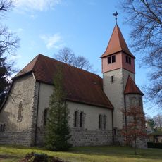
Village church Kienbaum
7.5 km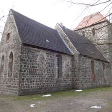
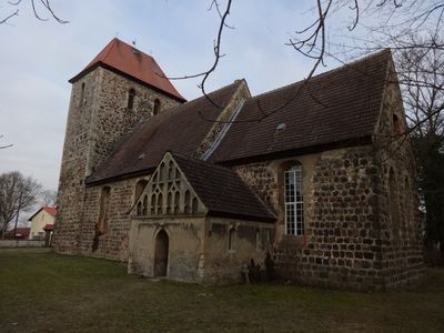
Village church Rehfelde
2.3 km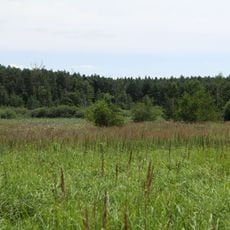
Zimmersee
2.7 km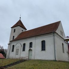
Church in Hoppegarten
7.2 km
Sophienfelde
3.9 km
Landschaftsschutzgebiet Strausberger Sander-, Os- und Barnimhanglandschaft
5.6 km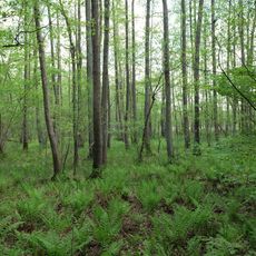
Maxsee
7.1 km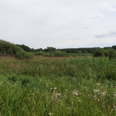
Zimmersee
2.7 km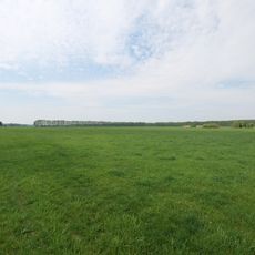
Rotes Luch Tiergarten
4.6 km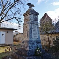
War memorial Kagel
6.7 km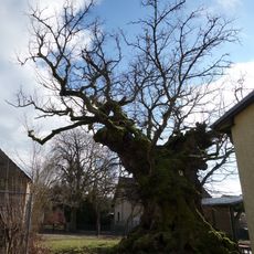
Naturdenkmal Mehrhundertjähriger Rüster Kienbaum,<br />am Kindergarten in Kienbaum
7.6 kmVisited this place? Tap the stars to rate it and share your experience / photos with the community! Try now! You can cancel it anytime.
Discover hidden gems everywhere you go!
From secret cafés to breathtaking viewpoints, skip the crowded tourist spots and find places that match your style. Our app makes it easy with voice search, smart filtering, route optimization, and insider tips from travelers worldwide. Download now for the complete mobile experience.

A unique approach to discovering new places❞
— Le Figaro
All the places worth exploring❞
— France Info
A tailor-made excursion in just a few clicks❞
— 20 Minutes