
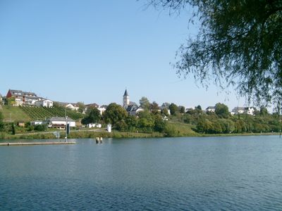
Palzem, municipality of Germany
Location: Trier-Saarburg
Elevation above the sea: 165 m
Website: http://www.palzem.de/
Website: http://palzem.de
GPS coordinates: 49.56611,6.37194
Latest update: March 18, 2025 15:13
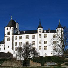
Schloss Berg
3.5 km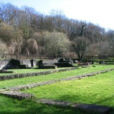
Römische Villa Nennig
4.2 km
Bous
3.2 km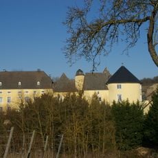
Schloss Thorn
1.8 km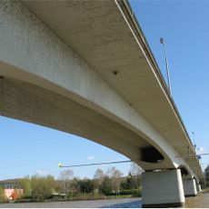
Moselbrücke Remich-Nennig
2.5 km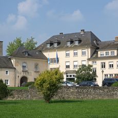
Stadtbredimus Castle
342 m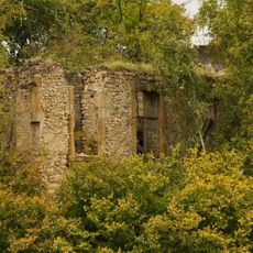
Schloss Bübingen
2.8 km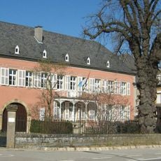
Wine Museum, Ehnen
4 km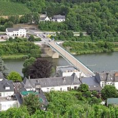
Moselbrücke Wormeldange-Wincheringen
5.1 km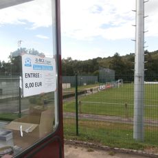
Stade Rue de Lenningen
5.6 km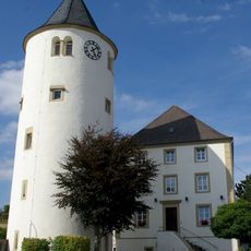
Burg Wincheringen
6.3 km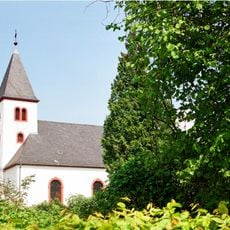
St. Martin
4.2 km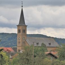
St. Margaretha
6.8 km
Monument Paul Eyschen
1.4 km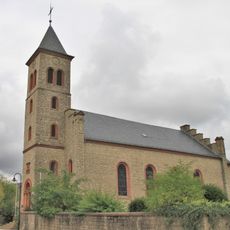
St. Remigius
6.6 km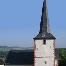
St. Lukas und St. Arnold
8.8 km
A Possen
4.3 km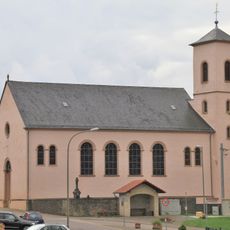
St. Dionysius
5.7 km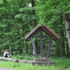
Ronnebeemchen Bous
2.9 km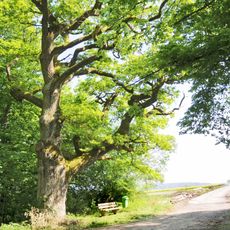
Eech zu Bus
3.3 km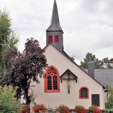
St. Bernhard und St. Nikolaus
7.5 km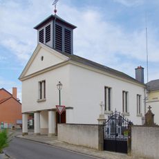
Église Saint-Wendelin
5.2 km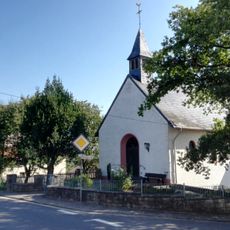
St. Wendalinus
7.8 km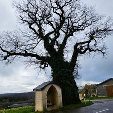
Eech um Bicherhaff
4.8 km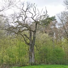
Eech zu Lenneng
3.3 km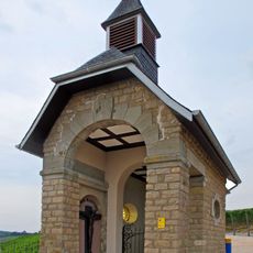
Chapelle Saint-Donat
5.9 km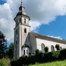
Église Saint-Martin
7.7 km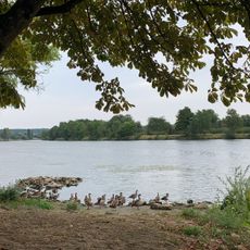
Visit Moselle
4 kmReviews
Visited this place? Tap the stars to rate it and share your experience / photos with the community! Try now! You can cancel it anytime.
Discover hidden gems everywhere you go!
From secret cafés to breathtaking viewpoints, skip the crowded tourist spots and find places that match your style. Our app makes it easy with voice search, smart filtering, route optimization, and insider tips from travelers worldwide. Download now for the complete mobile experience.

A unique approach to discovering new places❞
— Le Figaro
All the places worth exploring❞
— France Info
A tailor-made excursion in just a few clicks❞
— 20 Minutes