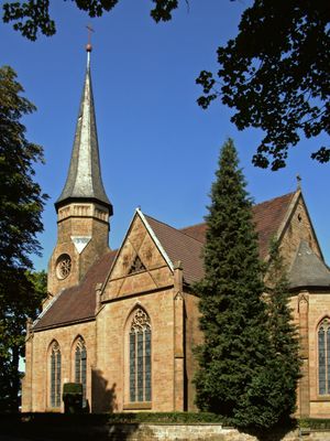
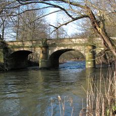
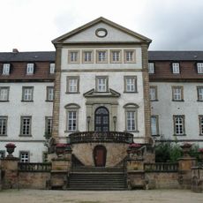
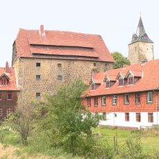
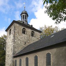
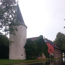
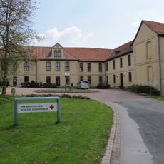
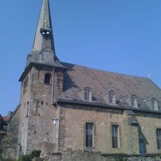
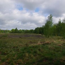
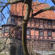
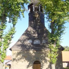
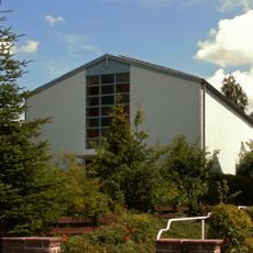
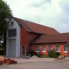
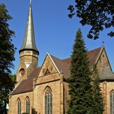
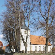
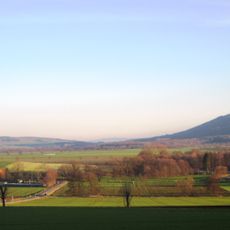
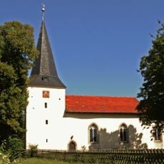
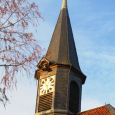
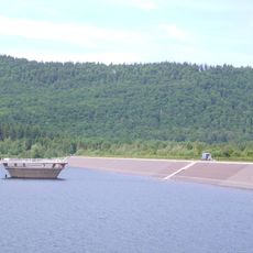
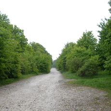
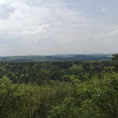
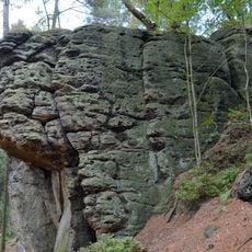
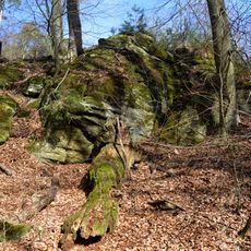
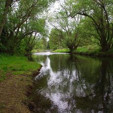
Lutter am Barenberge, village in Langelsheim, Landkreis Goslar, Germany
Elevation above the sea: 165 m
Shares border with: Bockenem, Hahausen,
Website: http://sg-lutter.de
GPS coordinates: 51.99000,10.27111
Latest update: March 3, 2025 14:53
Franzosenbrücke
6.1 km
Schloss Ringelheim
5.7 km
Burg Lutter
402 m
St. Johannes Baptista
5.8 km
Königsturm
9.4 km
Schloss Volkersheim
8.7 km
Kansteinburg
7.7 km
St. Andreas
6.8 km
Jägerturm
8.1 km
Appelhorn
4.2 km
Gallery grave Bredelem
6 km
Schlackenhalde Bredelem
6.5 km
Adelshof
7 km
Dorfkirche Wallmoden
4 km
Herz Mariä (Langelsheim)
7.3 km
St. Martin
275 m
Saint Thérèse of Lisieux Church
9.2 km
St. Georgskirche
258 m
Dorfkirche Sehlde
5.4 km
Pöbbeckenmühle
4.3 km
St. Stephanus
6.3 km
St.-Romanus-Kirche
5.9 km
Innerste Reservoir
8.8 km
Wallmodener Berge, Appelhorn-Bredelemer Holz
2.6 km
Hainberg
7.3 km
Hainberg, Wohldenberg, Braune Heide, Klein Rhüdener Holz und angrenzende Landschaftsteile
6.3 km
Bodensteiner Klippen und Klein Rhüdener Holz
6 km
Innerstetal von Langelsheim bis Groß Düngen
4.1 kmVisited this place? Tap the stars to rate it and share your experience / photos with the community! Try now! You can cancel it anytime.
Discover hidden gems everywhere you go!
From secret cafés to breathtaking viewpoints, skip the crowded tourist spots and find places that match your style. Our app makes it easy with voice search, smart filtering, route optimization, and insider tips from travelers worldwide. Download now for the complete mobile experience.
A unique approach to discovering new places❞
— Le Figaro
All the places worth exploring❞
— France Info
A tailor-made excursion in just a few clicks❞
— 20 Minutes