Bissendorf, District in Wedemark, Germany
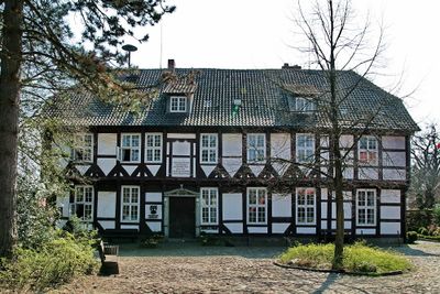
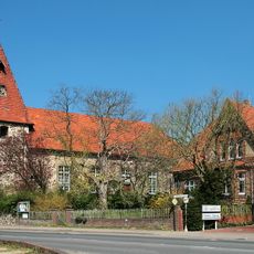
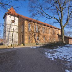
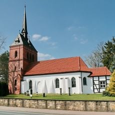
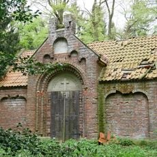
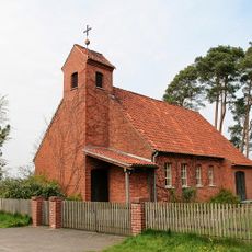
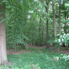
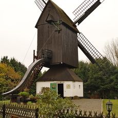
Bissendorf is a district within Wedemark municipality in Lower Saxony, situated at about 55 meters above sea level. The area features green landscapes and includes schools, shops, and community facilities connected by local transportation routes.
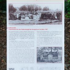
The settlement developed gradually over time and was eventually incorporated as an official district within Wedemark. These administrative changes shaped its current structure within the municipality.
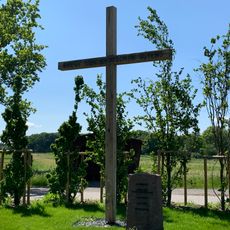
Residents gather throughout the year for local festivals that reflect Lower Saxon traditions and customs. These events bring the community together and shape the rhythm of daily life in the village.
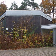
The area is accessible via local transportation networks and offers basic infrastructure typical of a residential district. Visitors should note that it is a residential settlement without major tourist facilities.
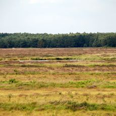
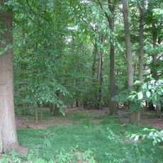
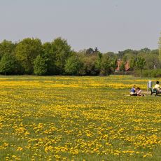
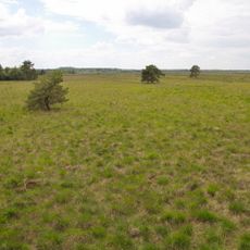
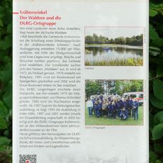
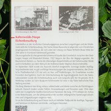
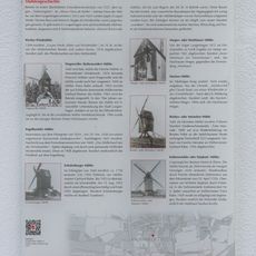
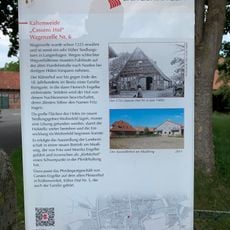
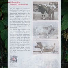
The agricultural fields surrounding this area create a distinctive pattern of cultivated landscape that defines its rural character. This farming pattern forms part of the broader agricultural heritage of northern Germany.
Location: Wedemark
Elevation above the sea: 55 m
GPS coordinates: 52.52470,9.75750
Latest update: December 10, 2025 15:52
Bissendorfer Moor
5.6 km
St.-Michaelis-Kirche
80 m
Fernmeldeturm Mellendorf
3.1 km
St. Martini
6.1 km
Quellwald bei Bennemühlen
5.7 km
St. Georg
2.9 km
GLIEM Tafel 111 Ortglocke
5.9 km
Grabkapelle der Familie von Bothmer
5.8 km
Kapelle Meitze
4.9 km
GLIEM Tafel 54 Straßennamen
6 km
Wietzetal
2.9 km
Bissendorfer Moor II
4.1 km
GLIEM Tafel 53 Granitfindling aus der Eiszeit
5.9 km
GLIEM Tafel 33 Villa Gail-Hübener-Link »Leben im Grünen«
5.7 km
Christophoruskirche
2.1 km
GLIEM Tafel 23 Der Waldsee und die DLRG-Ortsgruppe
5.7 km
GLIEM Tafel 83 Eichenkreuzburg
2.6 km
GLIEM Tafel 30 Mühlengeschichte
6.1 km
GLIEM Tafel 18 Cassens Hof Wagenzelle Nr. 6
6.1 km
GLIEM Tafel 55 Bulle-Bock-Eber-Straße
5.8 km
Quellwald bei Bennemühlen
5.7 km
St.-Marien-Kirche
2.3 km
Memorial plaque to victims of national socialism in Wedemark
3.3 km
GLIEM Tafel 105 Gedenkstein für eine Hubertusjagd des Kronprinzen im Jahre 1907
4.7 km
GLIEM Tafel 26 Siedlung Twenge
5.1 km
Kreuz des deutschen Ostens
3.3 km
Wagenzeller Bockwindmühle
6.1 km
Augenhand
5.2 kmVisited this place? Tap the stars to rate it and share your experience / photos with the community! Try now! You can cancel it anytime.
Discover hidden gems everywhere you go!
From secret cafés to breathtaking viewpoints, skip the crowded tourist spots and find places that match your style. Our app makes it easy with voice search, smart filtering, route optimization, and insider tips from travelers worldwide. Download now for the complete mobile experience.
A unique approach to discovering new places❞
— Le Figaro
All the places worth exploring❞
— France Info
A tailor-made excursion in just a few clicks❞
— 20 Minutes