Chest opened
+${chestReward.xp} XP
Explorer
NOUVEAU ×${chestReward.collectible.quantity}
tapez pour fermer
Chest locked

Open chests in the app

Around Us is built for your phone — chests unlock when you walk, explore and capture nearby places.

Enable Location

We need your location to show you interesting places around you

Discover nearby places

Find interesting locations and hidden gems around you

Precise directions

Get accurate directions and distances to places

Your location is never shared with other users. It's only used when you tap the location button.

Bitterfeld

Log in to your account

Start exploring — it's free

Trusted by 72,887 travelers worldwide

Continue with Google
Continue with Apple
or

We will send you a code to connect

By continuing, you accept our Terms and Conditions and our Privacy Policy

Check your inbox

We've sent a pincode in your inbox. Please enter the code below.

Bitterfeld
Discussion Reviews 1 Photos
74.4k Popularity

Bitterfeld, Industrial district in Bitterfeld-Wolfen, Germany

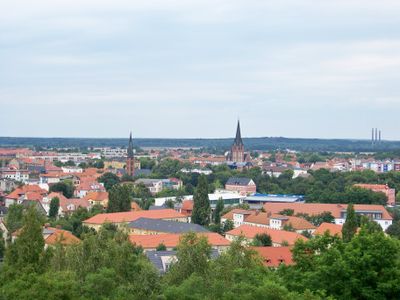
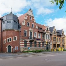
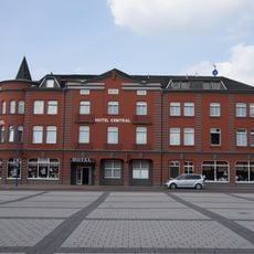
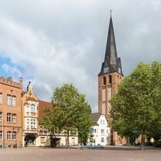
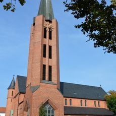
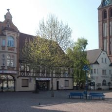
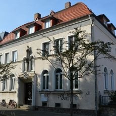
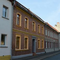
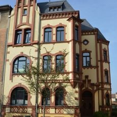
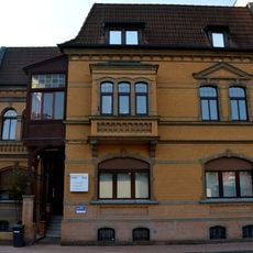
Bitterfeld is a district within Bitterfeld-Wolfen in Saxony-Anhalt, stretching along the Mulde River on flat terrain about 25 kilometers northeast of Halle. The area combines residential zones with industrial infrastructure at an elevation of roughly 79 meters above sea level.

Flemish settlers arrived in the marshy region during the 12th century and began draining the wetlands along the Mulde. The medieval counties of Brehna and Landsberg later shaped territorial development until the 2007 administrative reform created the new Anhalt-Bitterfeld district.

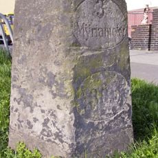
The name refers to the old marshlands along the Mulde that shaped settlement patterns for centuries. Today the coat of arms combines the Saxon lion with symbols from the medieval counties of Brehna and Landsberg, reminding visitors of the territorial past.

The train station connects the area to main routes between Berlin, Leipzig and Munich through regular long-distance and regional trains. The flat position along the Mulde makes orientation simple, and many parts are easy to reach on foot or by bike.

The original marshes were made habitable through a drainage system of ditches laid out over centuries that still shapes the landscape today. The merger with Köthen and parts of Anhalt-Zerbst in 2007 reunited a historical territory that had previously been split across several administrative units.

The community of curious travelers

AroundUs brings together thousands of curated places, local tips, and hidden gems, enriched daily by 60,000 contributors worldwide.

Start exploring
Elevation above the sea
79 m
GPS coordinates
51.62389,12.33000
Latest update
December 13, 2025 17:16
Reviews
Share your experience

No review yet

Discussions
Start a discussion...

No discussion yet

« Bitterfeld - Industrial district in Bitterfeld-Wolfen, Germany » is provided by Around Us (aroundus.com). Images and texts are derived from Wikimedia project under a Creative Commons license. You are allowed to copy, distribute, and modify copies of this page, under the conditions set by the license, as long as this note is clearly visible.

Discover hidden gems everywhere you go!

From secret cafés to breathtaking viewpoints, skip the crowded tourist spots and find places that match your style. Our app makes it easy with voice search, smart filtering, route optimization, and insider tips from travelers worldwide. Download now for the complete mobile experience.

Around Us App Screenshot

A unique approach to discovering new places

Le Figaro

All the places worth exploring

France Info

A tailor-made excursion in just a few clicks

20 Minutes

Around Us
Travel Guide & Maps
Download

Send to your phone

QR Code
1

Open the camera app on your mobile.

2

Point at the QR code with your camera. A notification will appear.

3

Tap the notification to open the link.