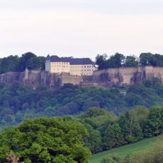
Königstein, Mountain summit in Saxon Switzerland National Park, Germany
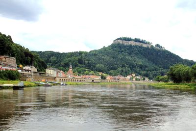
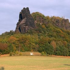
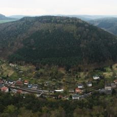
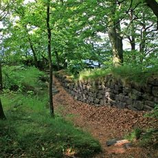
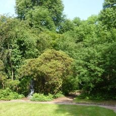
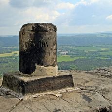
Königstein is a sandstone table mountain in Saxon Switzerland, rising steeply above the Elbe valley in eastern Germany. It belongs to a group of flat-topped rock formations that define the landscape of this region, with vertical walls and a forested plateau at the top.
The rock has been used since the Stone Age and held strategic value in medieval times because of its position above the river valley. In the 19th century, local climbers developed the principles of free climbing here, shaping a sporting tradition that spread far beyond the region.
Climbing here follows a code of conduct established in the 19th century that bans the use of pitons or artificial aids, making it one of the strictest climbing traditions anywhere. This Saxon free-climbing ethic is still followed by climbers who come from across Europe to practice on these sandstone walls.
Several marked trails lead to the top, and the difficulty varies depending on which route you choose. The rock climbing routes require proper equipment and some experience, while the hiking paths are more accessible for most visitors.
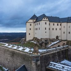
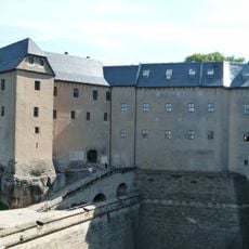
The Königstein summit sits just next to the Königstein Fortress, one of the largest surviving hilltop fortresses in Europe, built on a neighboring table mountain. This proximity means you can see both a natural rock formation and a centuries-old military structure almost side by side from the valley below.
The community of curious travelers
AroundUs brings together thousands of curated places, local tips, and hidden gems, enriched daily by 60,000 contributors worldwide.