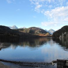
Immenstädter Horn, Mountain summit in Allgäu Alps, Germany
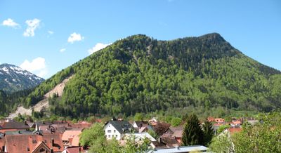
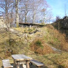
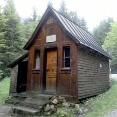
Immenstädter Horn is a mountain summit standing at 1,489 meters in the Allgäu Alps, positioned within the Nagelfluhkette Nature Park. Various trails branch out from the area, offering different routes and difficulty levels for visitors.
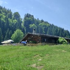
The mountain has long been a place where people hike and work the alpine meadows, reflecting the region's history. In March 2006, the eastern flank experienced a significant collapse, demonstrating how these mountain landscapes continue to change over time.
The summit draws people who want to spend time outdoors and explore the landscape in the region. The surrounding villages have deep roots here, where hiking and using the alpine meadows remain woven into how locals live throughout the year.
Visitors will find various hiking trails suited for different experience levels, from easy walks to more challenging routes. Wear sturdy footwear and be prepared for changing weather conditions that can develop quickly at altitude.
The mountain is composed of a special rock type called Nagelfluh, formed from compressed pebbles, which gives this region its distinctive shape. This rock formation repeats throughout this part of the Alps and defines the appearance of the entire mountain group.
The community of curious travelers
AroundUs brings together thousands of curated places, local tips, and hidden gems, enriched daily by 60,000 contributors worldwide.