Dreifürstenstein, Mountain summit in Baden-Württemberg, Germany
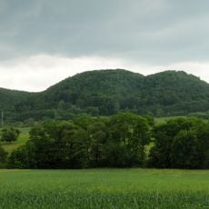
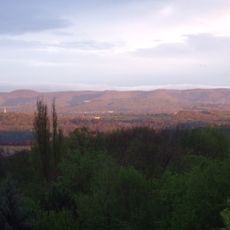
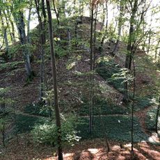
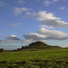
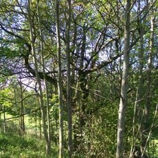
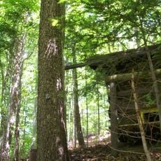
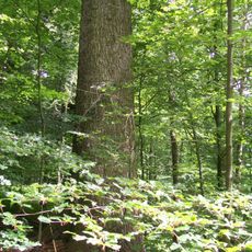
Dreifürstenstein is a mountain summit in Baden-Württemberg reaching about 860 meters in height, distinguished by steep limestone cliffs. The highest peak in Tübingen district features a small block cabin, orientation panels, and a grilling area at the top.
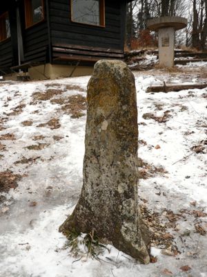
The mountain once served as a boundary marker between three principalities: Fürstenberg, Hohenzollern, and Württemberg. After Napoleon reorganized political borders in 1806, the summit ceased to mark the division between three separate territories.
The name Dreifürstenstein comes from a legend about three rulers who once gathered at a round table positioned above a boundary stone. Visitors standing on the summit can sense this historical connection while looking across the surrounding territories.
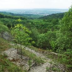
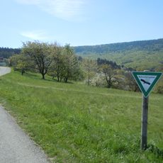
Several hiking trails lead up to the summit offering different routes and difficulty levels for visitors. Proper footwear is recommended since ground conditions vary by season and the terrain includes rocky sections throughout.
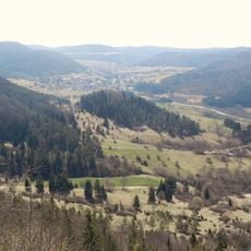
The summit sits at the meeting point of two counties and serves as a crossroads for three towns: Mössingen, Burladingen, and Hechingen. This location remains significant today for both administrative boundaries and community connections.
The community of curious travelers
AroundUs brings together thousands of curated places, local tips, and hidden gems, enriched daily by 60,000 contributors worldwide.