Dornberg, Rural district in Groß-Gerau, Germany
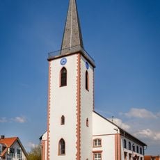
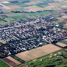
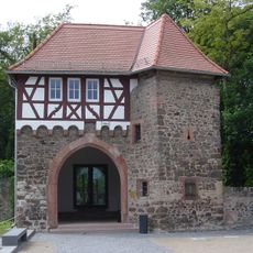
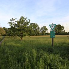
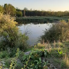
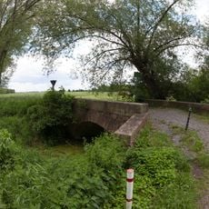
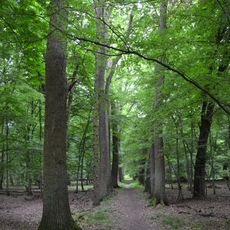
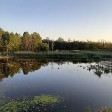
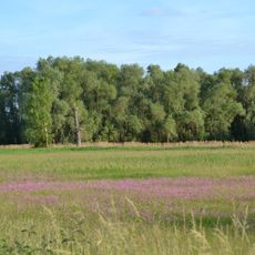
Dornberg is a rural district within Groß-Gerau municipality in Hessen and sits at approximately 88 meters elevation. The area is characterized by farmland and scattered settlements that shape the local landscape.
The area developed as part of Germany's cadastral system, which established precise property boundaries in the 19th century for administrative and tax purposes. These structures continue to shape land use and territorial divisions today.
The district maintains traditional German agricultural practices, with local farmers following seasonal cultivation patterns established through generations of land management.
The area connects to surrounding towns through regional roads and provides access to local services centered in Groß-Gerau. Visitors will find primarily agricultural spaces without major tourist facilities or amenities.
The district functions as a designated cadastral unit, integrating modern land management with preserved agricultural territories in the Hessen region.
The community of curious travelers
AroundUs brings together thousands of curated places, local tips, and hidden gems, enriched daily by 60,000 contributors worldwide.