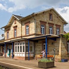
Wallerstädten, Administrative district in Groß-Gerau, Germany
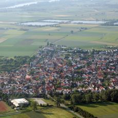
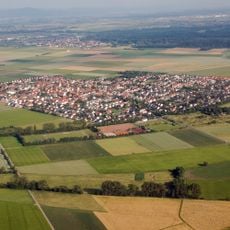
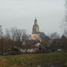
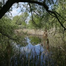
Wallerstädten is an administrative district located about one kilometer southwest of central Groß-Gerau and covers roughly 10 square kilometers. The area sits at an elevation of about 86 meters and is connected to surrounding regions by the L 3094 regional road.
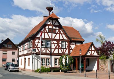
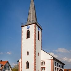
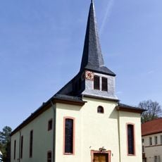
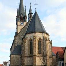
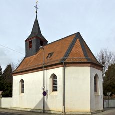
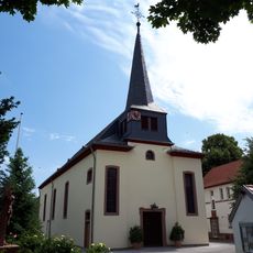
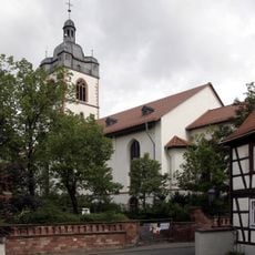
The settlement was first documented in 1281 as Waldirsteden, though King Heinrich II had already transferred it to the Diocese of Würzburg in 1013. This early religious connection shaped the region's administration for centuries to come.
The men's choir Teutonia has shaped local life since its founding in 1806 and remains one of the oldest singing associations in the Hessian Singers Federation. This singing tradition runs deep in the community and reflects how residents continue to value their musical heritage.
The area is accessible under postal code 64521 and is well connected to surrounding areas by the L 3094 main road, which leads toward the Rhine ferry at Kornsand. Visitors should note that this small administrative district is primarily rural and is best explored by car.
Between 1970 and 1985, this area housed Germany's largest safari and leisure park with freely roaming tigers and lions in open enclosures. The park drew visitors from across the region before eventually closing.
The community of curious travelers
AroundUs brings together thousands of curated places, local tips, and hidden gems, enriched daily by 60,000 contributors worldwide.