Enable Location

We need your location to show you interesting places around you

Discover nearby places

Find interesting locations and hidden gems around you

Precise directions

Get accurate directions and distances to places

Your location is never shared with other users. It's only used when you tap the location button.

Dörferblick

Log in to your account

Start exploring — it's free

Trusted by 62,293 travelers worldwide

Continue with Google
Continue with Apple
or

We will send you a code to connect

By continuing, you accept our Terms and Conditions and our Privacy Policy

Check your inbox

We've sent a pincode in your inbox. Please enter the code below.

Dörferblick

Dörferblick, Summit at Rudow district, Germany

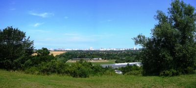
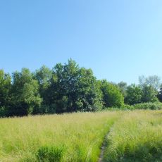
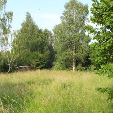
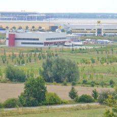
Dörferblick is an artificially raised hill in Berlin's Rudow district that rises about 86 meters above the surrounding flatland. From its cleared summit, you can see the villages of Schönefeld, Waßmannsdorf, and Großziethen as well as the flat landscape around it.

The elevation was created in 1958 from debris after World War II, when Berlin was divided and Brandenburg landfills became inaccessible from the Western side. The site was then used as a waste disposal location before eventually being transformed into green space.

The name refers to the location's role as a vantage point toward several surrounding villages in Brandenburg. Visitors can understand the layout of these settlements from here and orient themselves within the landscape.

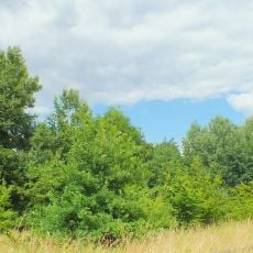
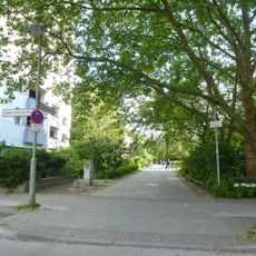
The site is easily reached on foot from several train stations, and the path to the summit is well-marked and easy to walk. The climb takes only a few minutes and is suitable for families with small children.

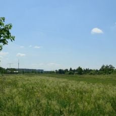
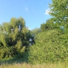
The northern edge follows the route of a former freight railway line that once connected Bohnsdorf to Lichtenrade through Berlin territory. This old rail line is still visible on maps and tells of the area's industrial past.

The community of curious travelers

AroundUs brings together thousands of curated places, local tips, and hidden gems, enriched daily by 60,000 contributors worldwide.

Start exploring
Location
Elevation above the sea
86 m
GPS coordinates
52.39732,13.48095
Latest update
December 11, 2025 18:01
« Dörferblick - Summit at Rudow district, Germany » is provided by Around Us (aroundus.com). Images and texts are derived from Wikimedia project under a Creative Commons license. You are allowed to copy, distribute, and modify copies of this page, under the conditions set by the license, as long as this note is clearly visible.

Discover hidden gems everywhere you go!

From secret cafés to breathtaking viewpoints, skip the crowded tourist spots and find places that match your style. Our app makes it easy with voice search, smart filtering, route optimization, and insider tips from travelers worldwide. Download now for the complete mobile experience.

Around Us App Screenshot

A unique approach to discovering new places

Le Figaro

All the places worth exploring

France Info

A tailor-made excursion in just a few clicks

20 Minutes

Around Us
Travel Guide & Maps
Download

Send to your phone

QR Code
1

Open the camera app on your mobile.

2

Point at the QR code with your camera. A notification will appear.

3

Tap the notification to open the link.