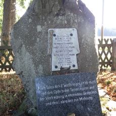
Drei-Länder-Stein, Boundary marker and memorial stone at South Harz, Germany.
The Drei-Länder-Stein sits at 575 meters elevation at the point where three German federal states meet: Lower Saxony, Saxony-Anhalt, and Thuringia. The stone itself is a simple marker from earlier periods, marked with carved text to identify this boundary location.
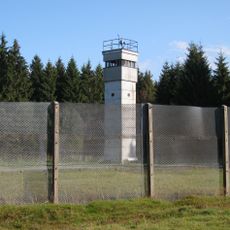
The stone was placed to mark boundaries between historic German territories, with the oldest inscriptions dating from the era of kingdoms and duchies. After 1945, this point marked the border between British and Soviet occupation zones until German reunification in 1990.
The stone displays carved abbreviations such as HB for Duchy of Brunswick and KP for Kingdom of Prussia, marking former German administrative territories. These inscriptions tell the story of how political boundaries shifted across different periods in this region.
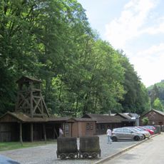
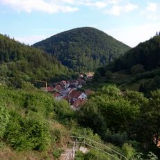
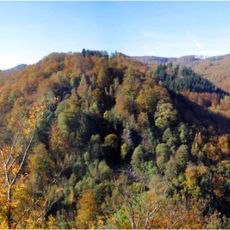
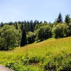
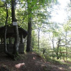
The stone is reachable from the Jägerfleck parking area, and a checkpoint box sits in a shelter hut about 50 meters to the northeast. The area has rolling hills with good walking paths that cross the terrain.
The stone serves as Checkpoint 47 in the Harzer Wandernadel hiking system, located near a trail that runs approximately 75 kilometers along the Harz border region. Hikers often stamp their trail cards at this point to record their journeys through the area.
The community of curious travelers
AroundUs brings together thousands of curated places, local tips, and hidden gems, enriched daily by 60,000 contributors worldwide.