Eberfinger Drumlinfeld, Glacial hill formation in Weilheim in Oberbayern, Germany
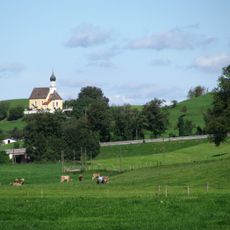
The Eberfinger Drumlinfeld is a landscape shaped by roughly 360 elongated hills created through ancient glacier movements across the land. The formations create a distinctive rolling terrain where valleys nestle between ridges in a natural pattern.
The drumlin landscape was created during the last ice age when glaciers carved and shaped the land. In 1917, geologist August Rothpletz recognized the geological importance of this formation and named it after the nearby town of Eberfing.
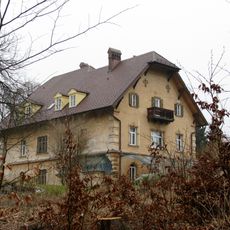
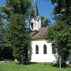
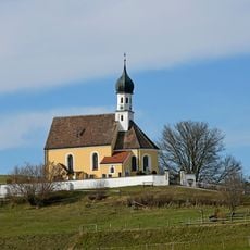
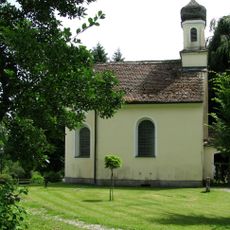
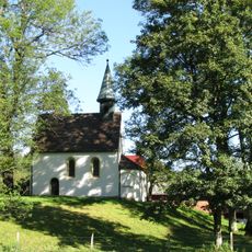
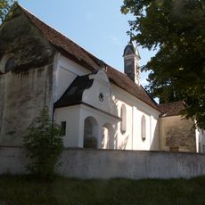
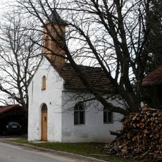
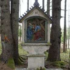
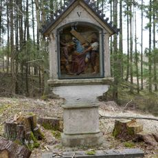
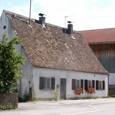
Local villages sit on top of the drumlin ridges, shaping the landscape with farms and forests that follow the natural hill patterns. People have adapted their way of life to work with these rolling formations rather than against them.
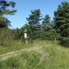
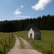
Walking paths crisscross the area, allowing visitors to explore the drumlin formations from different vantage points and angles. Sturdy footwear is advisable since the constant ups and downs of the hills can be physically demanding.
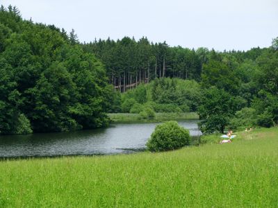
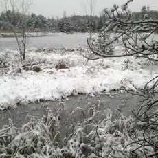
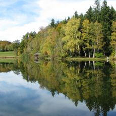
Small lakes and marshes sit in the valleys between the hills, harboring rare orchid species that thrive in the damp conditions. These hidden wetland habitats support specialized plants and animals that you would rarely encounter elsewhere.
Location: Weilheim in Oberbayern
Elevation above the sea: 640 m
Length: 12,000 m
Width: 6,000 m
GPS coordinates: 47.81940,11.24420
Latest update: December 13, 2025 17:10
Schloss Seeseiten
4 km
Schloss Hirschberg am Haarsee
2.4 km
Schloss Hohenberg
2.1 km
Hardtkapelle
4 km
Magnetsrieder Hardt
3.1 km
Bernrieder Filz
3.4 km
Mariä Himmelfahrt
1.8 km
St. Michael
3.9 km
St. Margaretha
1 km
St. Jakobus der Ältere
3.8 km
Via Salvatoris
4 km
Hardtlandschaft und Eberfinger Drumlinfelder, Weilheim, Wiedenbach, Bernried, Seeshaupt, Eberting
2.4 km
Sankt Hilaria und Sankt Afra
1.5 km
Pollingsrieder Kapelle
3.4 km
St. Maria
3.6 km
Hofkapelle St. Margaretha
2.1 km
Kapelle St. Maria Magdalena
2.2 km
Getreidekasten
2.4 km
Unsere Liebe Frau
4 km
St. Leonhard
2.6 km
Kreuzwegstation Burg in Wielenbach
4 km
Kreuzwegstation Burg in Wielenbach
4.1 km
Kreuzwegstation Burg in Wielenbach
4.1 km
Kreuzwegstation Burg in Wielenbach
4.2 km
Kreuzwegstation Burg in Wielenbach
4.2 km
Eberfinger Drumlinfeld mit Magnetsrieder Hardt u. Bernrieder Filz
2.7 km
Gut Rothsee
2.1 km
Gemeindehaus
4.2 kmVisited this place? Tap the stars to rate it and share your experience / photos with the community! Try now! You can cancel it anytime.
Discover hidden gems everywhere you go!
From secret cafés to breathtaking viewpoints, skip the crowded tourist spots and find places that match your style. Our app makes it easy with voice search, smart filtering, route optimization, and insider tips from travelers worldwide. Download now for the complete mobile experience.
A unique approach to discovering new places❞
— Le Figaro
All the places worth exploring❞
— France Info
A tailor-made excursion in just a few clicks❞
— 20 Minutes