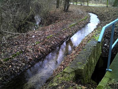
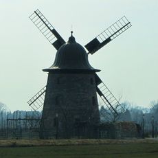
Elsterfloßgraben, Log driving canal in Burgenlandkreis, Germany
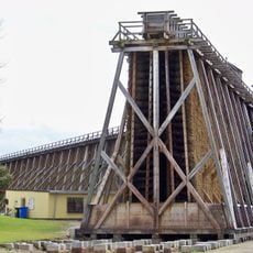
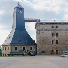
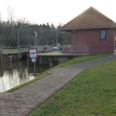
The Elsterfloßgraben is a transport canal stretching around 93 kilometers through multiple districts and connecting waterways between Thuringia and Saxony-Anhalt. The network includes locks, tunnels, and intake structures that regulated water flow for log transport.
Construction began in 1578 under Elector Augustus I of Saxony to connect salt mines with the cities of Halle and Leipzig. The system expanded over centuries and became one of Europe's largest water engineering projects of its era.
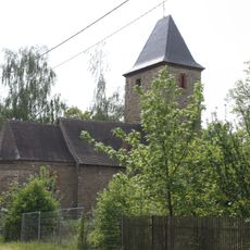
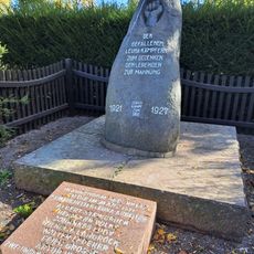
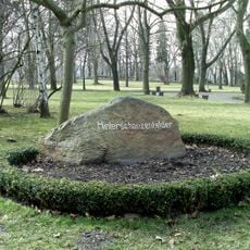
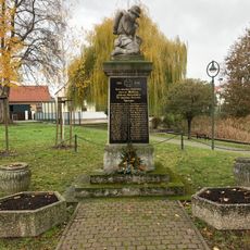
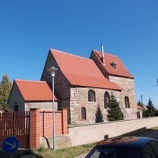
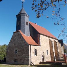
The canal is part of a cultural landscape shaped by generations of log drivers whose routes are now followed by walkers and cyclists. The numerous bridges, locks, and water structures tell the story of a way of work that bound people closely to the waterway.
The canal is accessible through marked paths suitable for walking and cycling with views of the water structures along the route. The best time to visit is during warmer months when paths are dry and easier to navigate.
The system was one of few places in the early modern period where human labor and technical innovation created an entirely new water transport method. Log drivers required specialized skills and knowledge passed down through generations of families.
The community of curious travelers
AroundUs brings together thousands of curated places, local tips, and hidden gems, enriched daily by 60,000 contributors worldwide.