Heudorf, quarter of Scheer, Baden-Württemberg, Germany
Location: Scheer
Elevation above the sea: 588 m
GPS coordinates: 48.09340,9.33220
Latest update: March 9, 2025 04:09
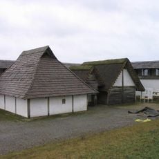
Heuneburg
5.9 km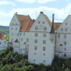
Schloss Scheer
3.7 km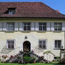
Jünger-Haus Wilflingen
5.2 km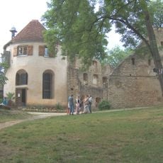
Ruine Hornstein
5.7 km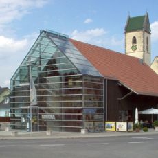
Römermuseum Mengen-Ennetach
4.7 km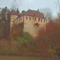
Burg Bartelstein
3.4 km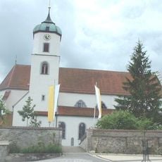
Pfarrkirche St. Nikolaus (Scheer)
3.7 km
Ruine Bittelschieß
5.8 km
St. Martin
5.4 km
Our Lady Church
4.9 km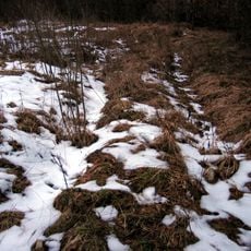
Villa rustica of Laucherthal
4.5 km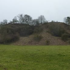
Burg Landau, Ertingen
5.7 km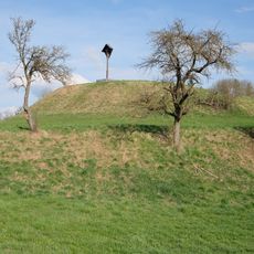
Turmhügel Baumburg
5.8 km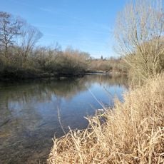
Blochinger Sandwinkel
3.5 km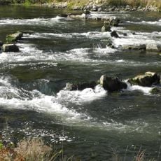
Donau zwischen Riedlingen und Sigmaringen
4.9 km
Bürgle
1.1 km
Thurn- und Taxis’sche Posthalterei (Mengen)
5 km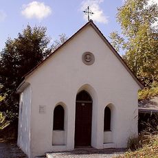
St.-Leonhards-Kapelle
3.3 km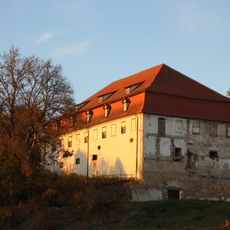
Sigmaringer Straße 13
3.3 km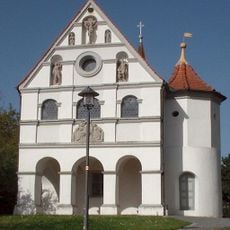
Loretokapelle
3.3 km
Kazede
4.8 km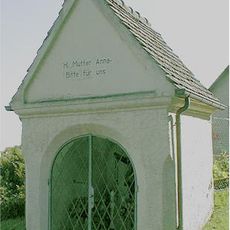
St.-Anna-Kapelle (Scheer)
3.7 km
Alter Friedhof
4.8 km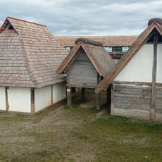
Heuneburgmuseum
5.3 km
Grenztafeln der Hohenzollernschen Lande
5 km
Linden am Schlosstor von Wilflingen
5.2 km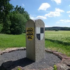
Grenzsteine zwischen Hitzkofen und Heudorf (Scheer)
1.3 km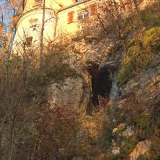
Felsen und Höhlen an der Ruine Bartenstein
3.4 kmVisited this place? Tap the stars to rate it and share your experience / photos with the community! Try now! You can cancel it anytime.
Discover hidden gems everywhere you go!
From secret cafés to breathtaking viewpoints, skip the crowded tourist spots and find places that match your style. Our app makes it easy with voice search, smart filtering, route optimization, and insider tips from travelers worldwide. Download now for the complete mobile experience.

A unique approach to discovering new places❞
— Le Figaro
All the places worth exploring❞
— France Info
A tailor-made excursion in just a few clicks❞
— 20 Minutes