Hüttenthal, municipal district of Mossautal in Odenwaldkreis, Germany
Location: Mossautal
Elevation above the sea: 283 m
GPS coordinates: 49.62060,8.94083
Latest update: March 12, 2025 12:41
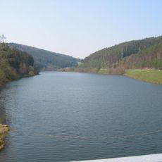
Marbachstausee
2.6 km
Himbächel-Viadukt
4.2 km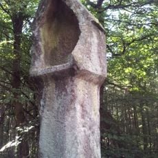
Olfener Bild
3.7 km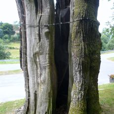
Dicke Eiche
4.2 km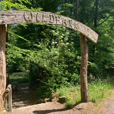
Wildpark Brudergrund
4.8 km
Rotes Wasser von Olfen
4.2 km
Railway Station Erbach
5.4 km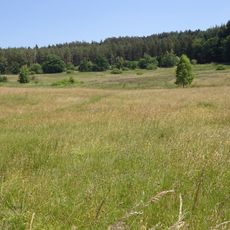
Gras-Ellenbacher Wiesen
5.5 km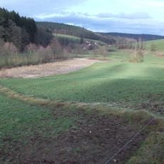
Burg Güttersbach
2.3 km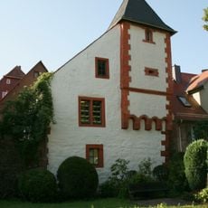
Burgmannenhaus Pavey
5.5 km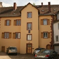
Städtel 26
5.5 km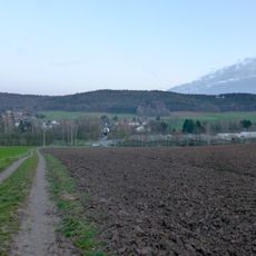
Spessartskopf
4.8 km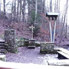
Zur Not Gottes
4.7 km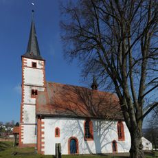
Evangelische Pfarrkirche
2.2 km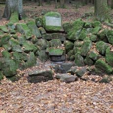
Lindelbrunnen
1.7 km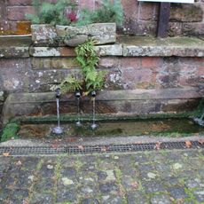
Kindlesbrunnen
2.2 km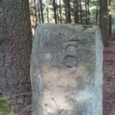
Teilungsstein, sogenannter Dreimärker
3.7 km
Bahnstraße 1
5.5 km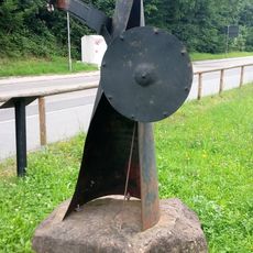
Khan Attila
5.1 km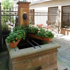
Laufbrunnen
5.5 km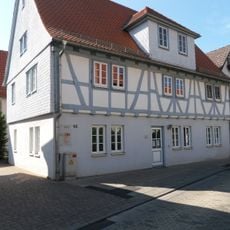
Am Schloßgraben 40-42
5.5 km
Villa
3.9 km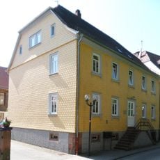
Am Schloßgraben 12
5.4 km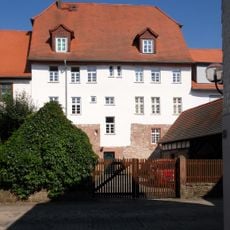
Städtel 30
5.5 km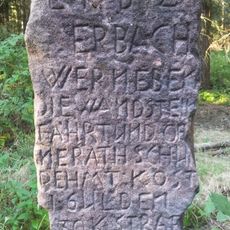
Verbotsstein
4.7 km
Am Schloßgraben 6
5.5 km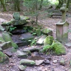
Siegfriedbrunnen
5 km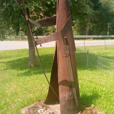
Siegfried auf der Jagd
342 mVisited this place? Tap the stars to rate it and share your experience / photos with the community! Try now! You can cancel it anytime.
Discover hidden gems everywhere you go!
From secret cafés to breathtaking viewpoints, skip the crowded tourist spots and find places that match your style. Our app makes it easy with voice search, smart filtering, route optimization, and insider tips from travelers worldwide. Download now for the complete mobile experience.

A unique approach to discovering new places❞
— Le Figaro
All the places worth exploring❞
— France Info
A tailor-made excursion in just a few clicks❞
— 20 Minutes