
Wattenheim, municipal district of Biblis in Kreis Bergstraße, Germany
Location: Biblis
Elevation above the sea: 92 m
GPS coordinates: 49.68500,8.40972
Latest update: March 8, 2025 17:10
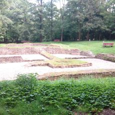
Burg Zullenstein
2.4 km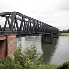
Rhine Bridge (Worms)
4.7 km
Ibersheim château
4 km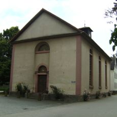
Mennonitenkirche Ibersheim
4.1 km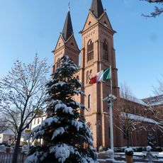
St. Bartholomäus
3 km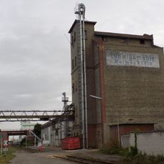
Ludwigsmühle (Worms)
4.7 km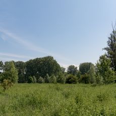
Hammer Aue von Gernsheim und Groß-Rohrheim
3.9 km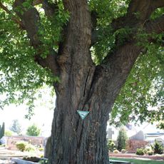
Maulbeerbaum am Friedhof Bürstadt
5.3 km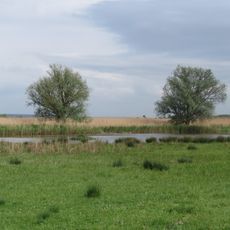
Der Spieß - An der Spießbrücke
5.3 km
Bürstadt menhir
3.8 km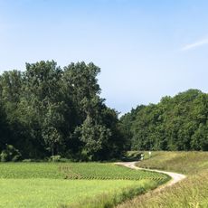
Steiner Wald von Nordheim
2.7 km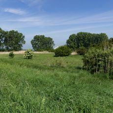
Lochwiesen von Biblis
2.2 km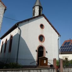
Heilig Kreuz
5.7 km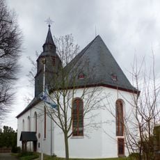
Evangelische Kirche
5.6 km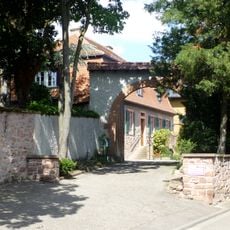
Kath. Pfarrhaus
3.2 km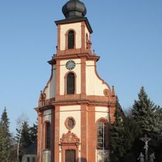
St. Michael
3.2 km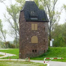
Fährhausturm
3.4 km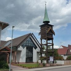
Evangelische Kirche Bobstadt
3.5 km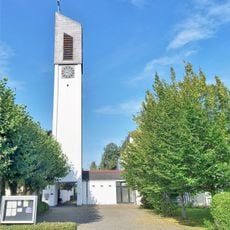
St. Josef
3.3 km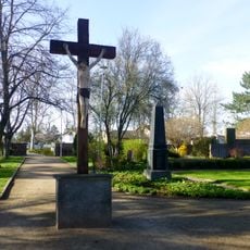
Ehem. Friedhof
2.9 km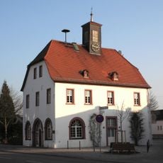
Altes Rathaus
3.2 km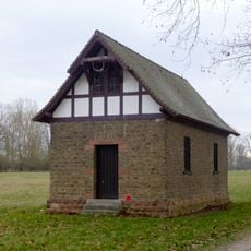
Schellhäuschen
5.6 km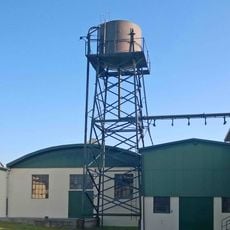
Gurkenfabrik
3.1 km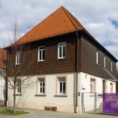
Haus Zum Steiner Wald 3
1.5 km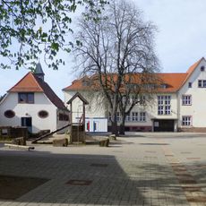
Viktoriastraße 8
2.9 km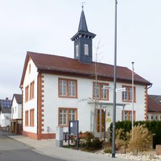
Alte Schule und Rathaus
3.5 km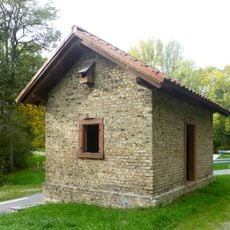
Dammwachhaus
2.6 km
Maulbeeraue
3.8 kmReviews
Visited this place? Tap the stars to rate it and share your experience / photos with the community! Try now! You can cancel it anytime.
Discover hidden gems everywhere you go!
From secret cafés to breathtaking viewpoints, skip the crowded tourist spots and find places that match your style. Our app makes it easy with voice search, smart filtering, route optimization, and insider tips from travelers worldwide. Download now for the complete mobile experience.

A unique approach to discovering new places❞
— Le Figaro
All the places worth exploring❞
— France Info
A tailor-made excursion in just a few clicks❞
— 20 Minutes