
Jößnitz, human settlement in Germany
Location: Plauen
Elevation above the sea: 391 m
Shares border with: Steinsdorf (Plauen), Syrau, Kauschwitz, Haselbrunn, Reißigwald mit Lochhaus, Röttis, Trieb (Pöhl)
GPS coordinates: 50.54580,12.13780
Latest update: April 5, 2025 20:04
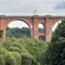
Elster Viaduct
2.2 km
Burg Liebau
3.2 km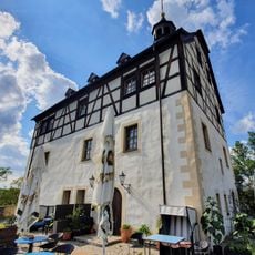
Schloss Jößnitz
287 m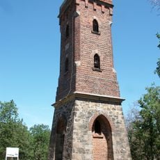
Mosenturm
2.8 km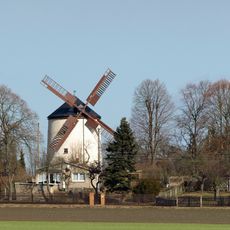
Syrauer Holländermühle
3.1 km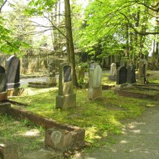
Jüdischer Friedhof Plauen
2.6 km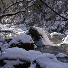
Triebtal
2.6 km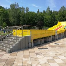
Freibad Haselbrunn
2.5 km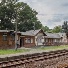
Bahnhof Barthmühle
2.3 km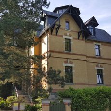
Villa Friedensstraße 1
2.6 km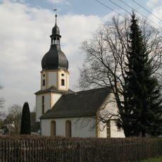
Dorfkirche
138 m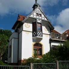
Villa Friedensstraße 20
2.4 km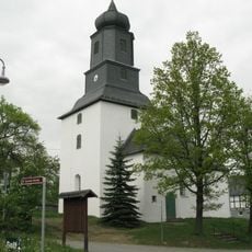
Dorfkirche Steinsdorf
1.9 km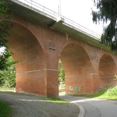
Viadukt Röttis
1.7 km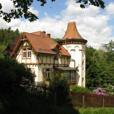
Barthmühle 23
2 km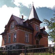
Villa Loreleystraße 2-4
2.5 km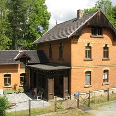
Barthmühle 22
2.1 km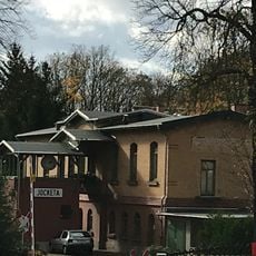
Jocketa station building
2.5 km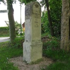
Royal Saxon milestone Reißig
2 km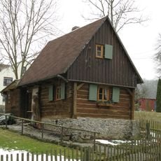
Wohnhaus Röttis 4b <!-- In der Datenbank des Landesamtes geführt unter „Röttis 5“-->
1.7 km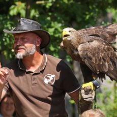
Falconry Herrmann
2.2 km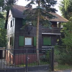
Wohnhaus Waldstraße 6
2.8 km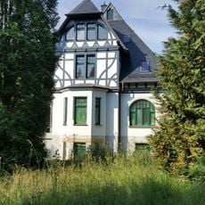
Villa Straße der Völkerfreundschaft 6
2.7 km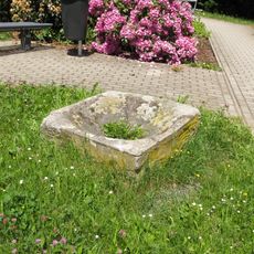
Pechpfanne Kurze Straße 5 (vor)
3 km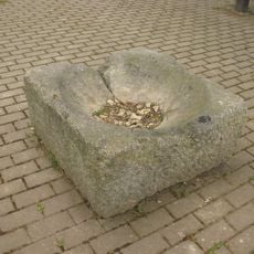
Pechpfanne Friedensstraße 3 (vor)
2.6 km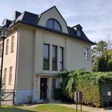
Villa Friedensstraße 3
2.6 km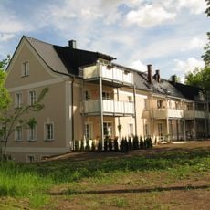
Vorwerk Reißig
2 km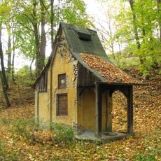
Transformatorenhäuschen Röttis
1.8 kmReviews
Visited this place? Tap the stars to rate it and share your experience / photos with the community! Try now! You can cancel it anytime.
Discover hidden gems everywhere you go!
From secret cafés to breathtaking viewpoints, skip the crowded tourist spots and find places that match your style. Our app makes it easy with voice search, smart filtering, route optimization, and insider tips from travelers worldwide. Download now for the complete mobile experience.

A unique approach to discovering new places❞
— Le Figaro
All the places worth exploring❞
— France Info
A tailor-made excursion in just a few clicks❞
— 20 Minutes