
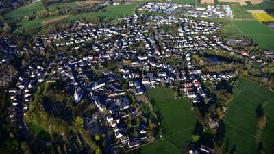
Villip, human settlement in Germany
Location: Wachtberg
Elevation above the sea: 172 m
GPS coordinates: 50.63680,7.09408
Latest update: April 28, 2025 01:39
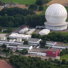
TIRA
3.4 km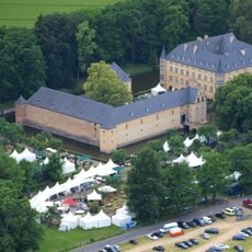
Burg Adendorf
3.4 km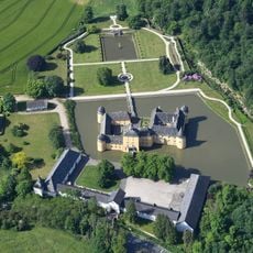
Burg Gudenau
615 m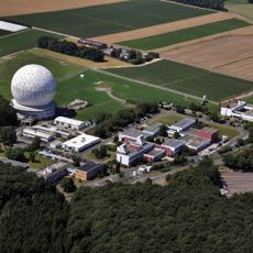
Fraunhofer Institute for High Frequency Physics and Radar Techniques
3.3 km
Fraunhofer Institute for Communication, Information Processing and Ergonomics
3.3 km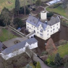
Burg Odenhausen
2.6 km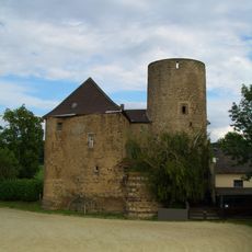
Burg Münchhausen
4.5 km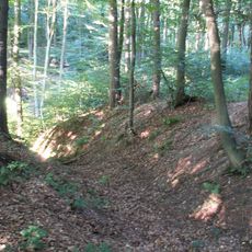
Ringwall Venne
4.2 km
Jägerhäuschen (Kottenforst)
2.9 km
Dicke Eiche
2.6 km
Heilige Drei Könige
4.7 km
St. Maria Rosenkranzkönigin
3.3 km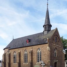
Katholische Kapelle St. Michael (Merl)
2.8 km
Kaisereiche
2.9 km
Wattendorfer Mühle
4 km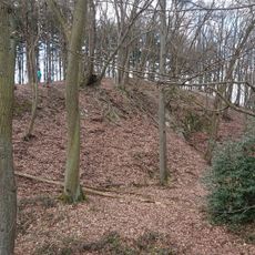
Domsteinbruch am Hohenberg
3.7 km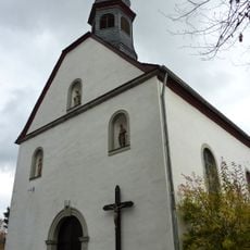
Antoniuskapelle
3.1 km
St. Margareta
3.4 km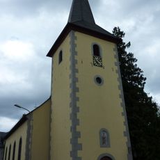
Alte Kirche St. Gereon
3.1 km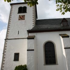
St. Georg
4.6 km
Synagoge Beilstein
3.4 km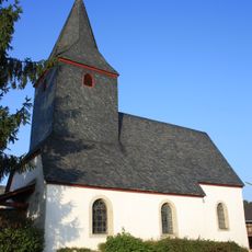
St. Jakobus
4.5 km
FGAN
3.4 km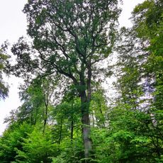
Clemens-August-Eichen
2.1 km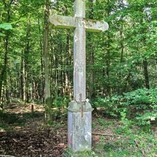
Veritas-Kreuz (Röttgen)
3.3 km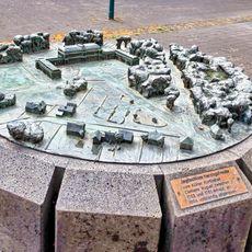
Bronzerelief Herzogsfreude
4.9 km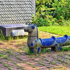
Spielplatztiere, Hipporollen
4.8 km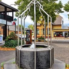
Brunnen „Am Schlossplatz“
4.9 kmReviews
Visited this place? Tap the stars to rate it and share your experience / photos with the community! Try now! You can cancel it anytime.
Discover hidden gems everywhere you go!
From secret cafés to breathtaking viewpoints, skip the crowded tourist spots and find places that match your style. Our app makes it easy with voice search, smart filtering, route optimization, and insider tips from travelers worldwide. Download now for the complete mobile experience.

A unique approach to discovering new places❞
— Le Figaro
All the places worth exploring❞
— France Info
A tailor-made excursion in just a few clicks❞
— 20 Minutes