Wachtberg, Municipality in Rhein-Sieg District, Germany
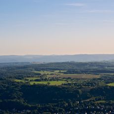
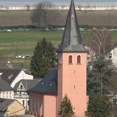
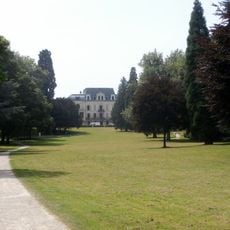
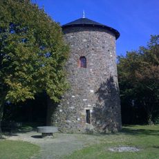
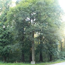
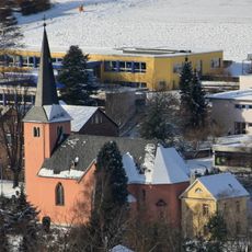
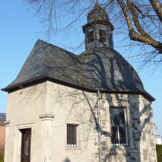
Wachtberg is a municipality in Rhein-Sieg District comprising several villages spread across rolling, forested terrain. The area is defined by green landscapes where traditional buildings and water castles sit among rural paths and farmland.
The municipality was established in 1969 through a merger of previously independent villages into one administrative unit. This reorganization was part of a broader regional reform that streamlined local governance structures.
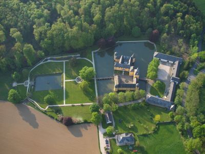
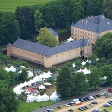
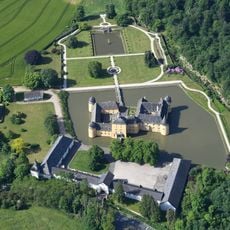
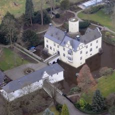
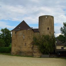
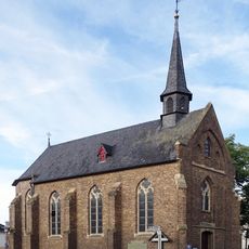
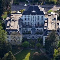
Water castles scattered through the area reflect how noble families shaped life here for centuries through their presence and influence. These structures remain visible reminders of a time when such residences defined the character of the landscape.
The area is best explored by car or public transit, as villages are spread across the countryside. Being close to Bonn makes it easy to combine a visit with trips to nearby towns or attractions.
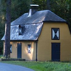
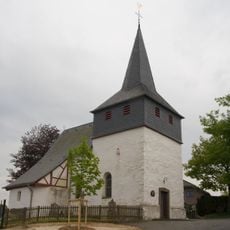
Niederbachem, the largest village, displays timber-frame construction techniques passed down through generations in its houses. This building style was practical for the local climate and materials while creating a distinctive appearance that endures today.
The community of curious travelers
AroundUs brings together thousands of curated places, local tips, and hidden gems, enriched daily by 60,000 contributors worldwide.