
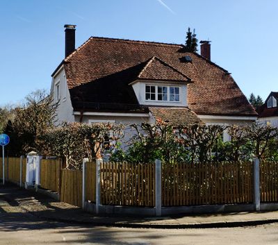
Wohnhaus, building in Hadern, Upper Bavaria, Germany
Location: Munich
Address: Schlüsselblumenweg 7
GPS coordinates: 48.11188,11.49229
Latest update: March 2, 2025 23:29
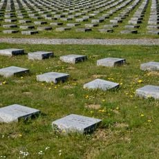
Munich Forest Cemetery
1 km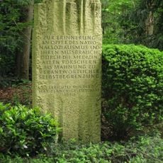
Memorial to the victims of National Socialist euthanasia crimes
1.2 km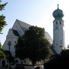
St. Canisius
819 m
St. Peter's Church
1.1 km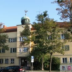
Würmtalstraße
743 m
St. Ignatius (Munich)
686 m
Waldfriedhofstraße
1 km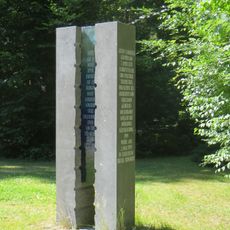
Gustav Landauer Memorial
442 m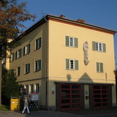
Großhadern Town Hall
1.1 km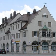
Fürstenrieder Straße 255
780 m
Fürstenrieder Straße 257
792 m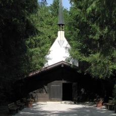
Waldfriedhof Forst-Kasten-Allee 4 in München
966 m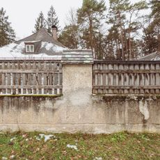
Waldfriedhof Fürstenrieder Straße 288 in München
752 m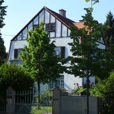
Villa
266 m
Waldfriedhof, Gebiet nördl. des Schlosses Fürstenried einschl. Schloß und Schloßpark, Geländestreifen entlang der Allee zwischen Kreuzhof und Fürstenried, Waldgebiet südl. Albert-Roßhaupter-Str. (Sendlinger Wald), Allee der Albert-Roßhaupter-Str
795 m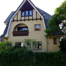
Pelargonienweg 8
243 m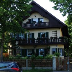
Villa
192 m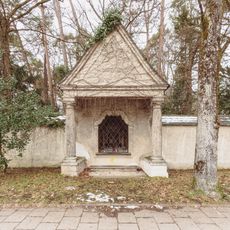
Wegkapelle Fürstenrieder Straße 288 in München
783 m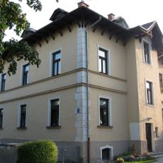
Malerische Villa
1.1 km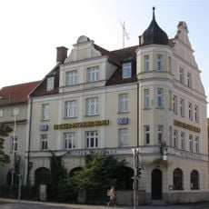
Weißes Bräuhaus
1 km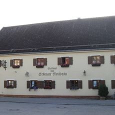
Ehem. Bauern- und Wirtshaus
1 km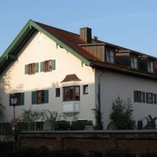
Bauernanwesen
1.1 km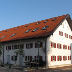
Ehem. Bauernhaus
1.1 km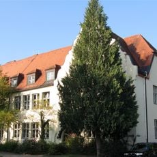
Canisiusschule Hadern
881 m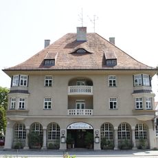
Gaststaette Waldfrieden in Munich
817 m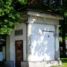
Transformatorenhäuschen
209 m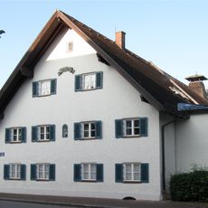
Ehem. Bauernhof
1.1 km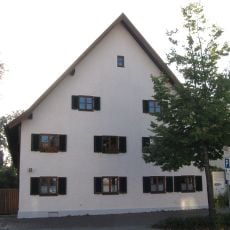
Ehem. Bauernhaus
1 kmReviews
Visited this place? Tap the stars to rate it and share your experience / photos with the community! Try now! You can cancel it anytime.
Discover hidden gems everywhere you go!
From secret cafés to breathtaking viewpoints, skip the crowded tourist spots and find places that match your style. Our app makes it easy with voice search, smart filtering, route optimization, and insider tips from travelers worldwide. Download now for the complete mobile experience.

A unique approach to discovering new places❞
— Le Figaro
All the places worth exploring❞
— France Info
A tailor-made excursion in just a few clicks❞
— 20 Minutes