
Kriegerdenkmal, Kriegerdenkmal zur Erinnerung an die Gefallenen des Ersten Weltkrieges, ehem. einen Baum umgebende, nach oben hin offene tempelartige Anlage, mit Reliefs und Inschriften, aus Sandstein, von Georg Albertshofer, 1924
Location: Kolbermoor
Address: Nähe Ludwigstraße
GPS coordinates: 47.84857,12.06735
Latest update: March 25, 2025 10:59
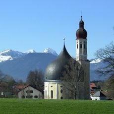
Wallfahrtskirche Heilig Kreuz
3 km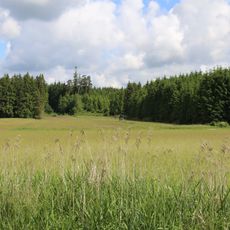
Kalten
3.1 km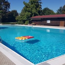
Schwimmbad Harthausen
2.9 km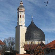
Kath. Filial- und Wallfahrtskirche Hl. Kreuz
3 km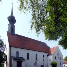
Rosenkranzkönigin
2.3 km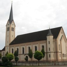
Hl. Dreifaltigkeit
471 m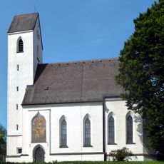
St. Quirin
2.3 km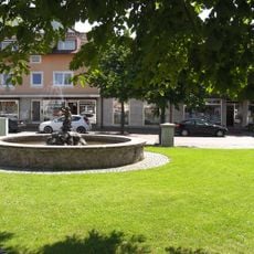
Brunnen am Edmund-Bergmann-Platz
275 m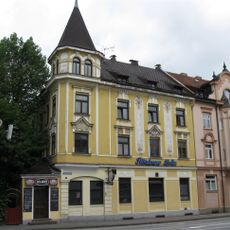
Hubertusstraße 1
3.3 km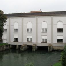
Wasserkraftwerk der ehem. Baumwollspinnerei
643 m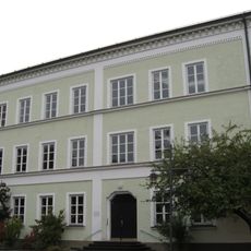
Rainerstraße 3
444 m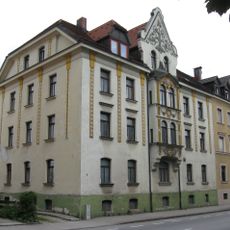
Hubertusstraße 5
3.3 km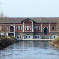
Elektrizitätswerk Rosenheim
2.2 km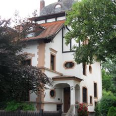
Villa
2.8 km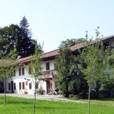
Wohnteil des ehem. Bauernhauses
2.3 km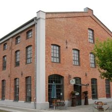
Baumwollspinnerei Kolbermoor
560 m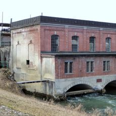
Sog. obere Wasserkraftanlage
2 km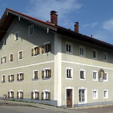
Wohnhaus
2.4 km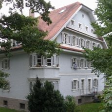
Friedrich-Ebert-Straße 1
485 m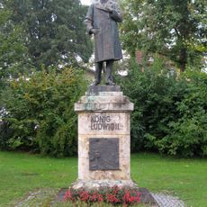
König-Ludwig-II.-Denkmal
547 m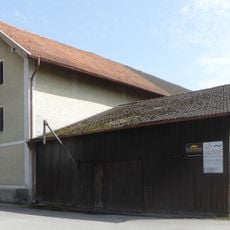
Bauernhaus
2.4 km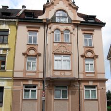
Hubertusstraße 3
3.3 km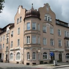
Äußere Münchener Straße 23
2.8 km
Rainerstraße 2
484 m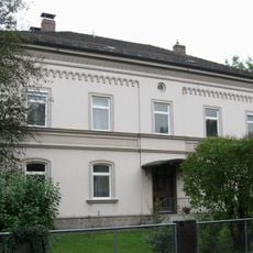
Rainerstraße 6
446 m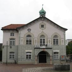
Altes Rathaus
410 m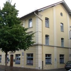
Rosenheimer Straße 14
309 m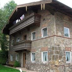
Am Wasen 75
3.1 kmReviews
Visited this place? Tap the stars to rate it and share your experience / photos with the community! Try now! You can cancel it anytime.
Discover hidden gems everywhere you go!
From secret cafés to breathtaking viewpoints, skip the crowded tourist spots and find places that match your style. Our app makes it easy with voice search, smart filtering, route optimization, and insider tips from travelers worldwide. Download now for the complete mobile experience.

A unique approach to discovering new places❞
— Le Figaro
All the places worth exploring❞
— France Info
A tailor-made excursion in just a few clicks❞
— 20 Minutes