
, Wegkapelle, erstes Drittel 19. Jahrhundert; nördlich des Ortes
Location: Palling
Address: Brandfeld bei Höhenstetten
GPS coordinates: 47.99432,12.61339
Latest update: May 11, 2025 17:34
Stein Castle
5.6 km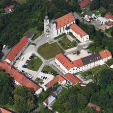
Baumburg Abbey
6.2 km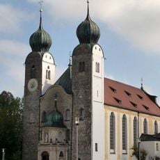
Klosterkirche St. Margarethen
6 km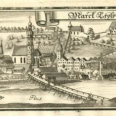
Burg Trostberg
5.9 km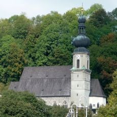
St. Andreas
5.9 km
Pauluskirche
4 km
Mariä Geburt
2 km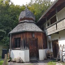
Frauenbrunn-Kapelle
5.9 km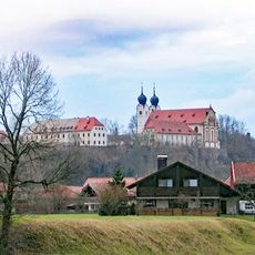
Burg Baumburg
6.2 km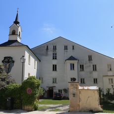
Schloss Schedling
5.8 km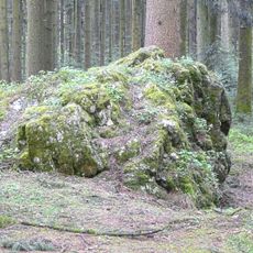
Findling Bitterstein WNW von Holzhausen
4.9 km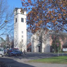
Zum Heiligsten Erlöser
3.8 km
St. Ägidius
5.9 km
Katholische Kirche St. Sixtus und St. Sebastian
5.6 km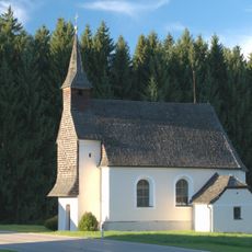
St. Magdalena
5.2 km
Katholische Kirche St. Peter und Paul
2.9 km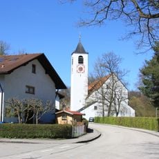
Katholische Pfarrkirche Mariä Himmelfahrt
6 km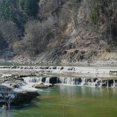
Naturwehr in der Alz und Alzhang NW von Altenmarkt
6.1 km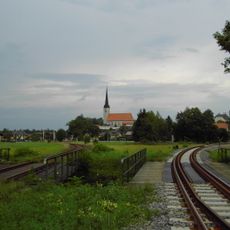
Katholische Pfarrkirche St. Georg
4.5 km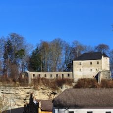
Hochschloss
5 km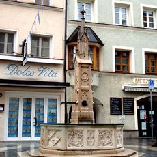
Marktbrunnen
5.8 km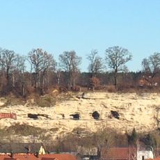
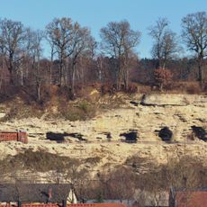
Deckenschotter-Aufschluss in Stein a.d. Traun
5 km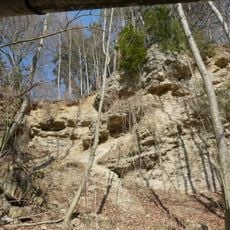
Mindelzeitliche Schotter S von Heiligkreuz
5.4 km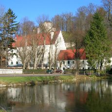
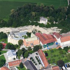
Burg und Schloss Stein
5 km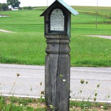
Eremitage
5.1 km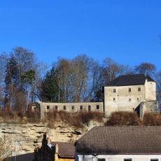
Winterquartier der Mopsfledermaus in Burg Stein
5 km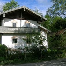
Kleinhaus
5.9 kmReviews
Visited this place? Tap the stars to rate it and share your experience / photos with the community! Try now! You can cancel it anytime.
Discover hidden gems everywhere you go!
From secret cafés to breathtaking viewpoints, skip the crowded tourist spots and find places that match your style. Our app makes it easy with voice search, smart filtering, route optimization, and insider tips from travelers worldwide. Download now for the complete mobile experience.

A unique approach to discovering new places❞
— Le Figaro
All the places worth exploring❞
— France Info
A tailor-made excursion in just a few clicks❞
— 20 Minutes