
Almhütten, haaralm. Von ehemals neun Kasern bauzeitlich erhalten (Reihenfolge von Westen nach Osten): Gemauerter Kaser (Bauer im Winkl) mit scharschindelgedecktem Steildach, an der Firstpfette bezeichnet mit dem Jahr 1825; Blockbaukaser (Ramsler), Ende 18. Jahr
Location: Ruhpolding
Address: Haaralm
GPS coordinates: 47.73668,12.55546
Latest update: March 7, 2025 07:52
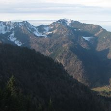
Hochfelln
2.9 km
Hochgern
3.3 km
Schnappenkirche Marquartstein
6.2 km
Unternberg
6.4 km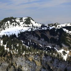
Gurnwandkopf
3.9 km
Schnappenberg
5.9 km
Röthelmoosalm
2.6 km
Seekopf (Ruhpolding)
5.7 km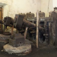
Glockenschmiede Ruhpolding
4.3 km
Burgstall Hohenstein (Staudach-Egerndach)
6.3 km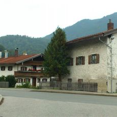
Bauernhaus
6.4 km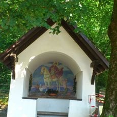
Martinikapelle
6.7 km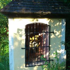
Kapellenbildstock
6.6 km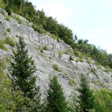
Steinbruch am Haßlberg bei Ruhpolding
5.6 km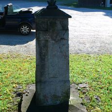
Bildstock
6.5 km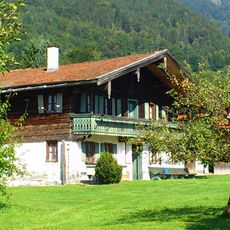
Bauernhaus
6.5 km
Hochsattel
3.1 km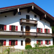
Bauernhaus
6.4 km
Bauernhaus
6.2 km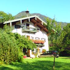
Bauernhaus
6.6 km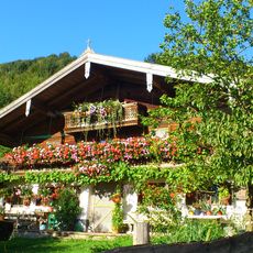
Bauernhaus
5.8 km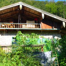
Bauernhaus
6.3 km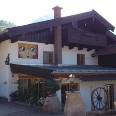
Bauernhaus
6.4 km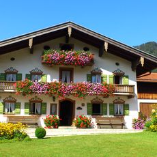
Bauernhaus
6.3 km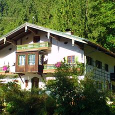
Bauernhaus
6.3 km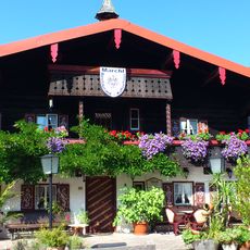
Bauernhaus
6.4 km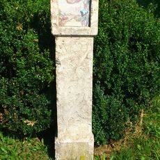
Bildstock
6.7 km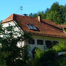
Wohnhaus
6.3 kmReviews
Visited this place? Tap the stars to rate it and share your experience / photos with the community! Try now! You can cancel it anytime.
Discover hidden gems everywhere you go!
From secret cafés to breathtaking viewpoints, skip the crowded tourist spots and find places that match your style. Our app makes it easy with voice search, smart filtering, route optimization, and insider tips from travelers worldwide. Download now for the complete mobile experience.

A unique approach to discovering new places❞
— Le Figaro
All the places worth exploring❞
— France Info
A tailor-made excursion in just a few clicks❞
— 20 Minutes