
Stadel eines Dreiseithofs
Stadel eines Dreiseithofs, Ständerbohlenstadel mit Flachsatteldach und reichem Bundwerk, zweites Viertel 19. Jahrhundert
Location: Obertaufkirchen
Address: Lentfelden 1
GPS coordinates: 48.20787,12.23159
Latest update: March 24, 2025 13:39
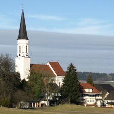
Church of the Assumption
6.3 km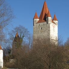
Burg Haag
6.4 km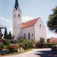
Mariä Himmelfahrt
5.8 km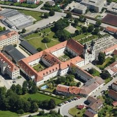
Gars Abbey
6.6 km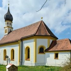
Johannes der Täufer
2.9 km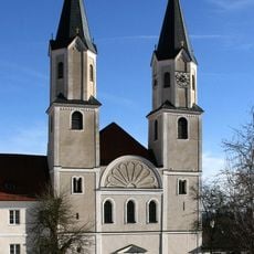
Pfarrkirche Mariä Himmelfahrt
6.6 km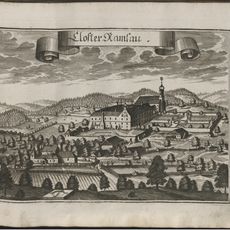
Kloster Ramsau bei Haag
3.8 km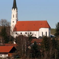
Church of the Assumption
4.3 km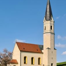
Unsere Liebe Frau vom Trost
5.2 km
Rathaus Haag in Oberbayern
6.3 km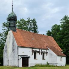
St. Stephan
5.9 km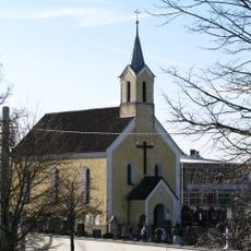
Friedhofskirche
6.6 km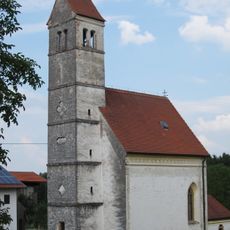
Katholische Filialkirche St. Kolomann
4.9 km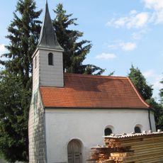
St. Kastulus
5.7 km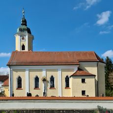
St. Ulrich
4.2 km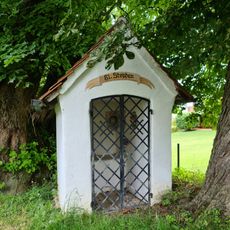
Feldkapelle St. Stephan
6.5 km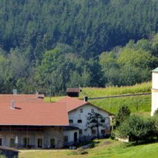
Wohnstallhaus eines ehemaligen Vierseithofs
6.9 km
Maria-Ward-Straße 24
6.7 km
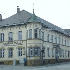
Hauptstraße 9 Gasthaus Zeller
6.2 km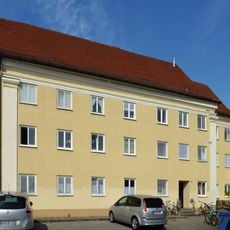
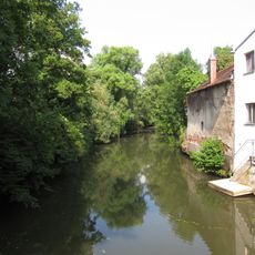
Isental mit Nebenbächen
4.8 km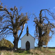
Grainerkapelle
3.8 km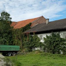
Bauernhaus
3.5 km
Reviews
Visited this place? Tap the stars to rate it and share your experience / photos with the community! Try now! You can cancel it anytime.
Discover hidden gems everywhere you go!
From secret cafés to breathtaking viewpoints, skip the crowded tourist spots and find places that match your style. Our app makes it easy with voice search, smart filtering, route optimization, and insider tips from travelers worldwide. Download now for the complete mobile experience.

A unique approach to discovering new places❞
— Le Figaro
All the places worth exploring❞
— France Info
A tailor-made excursion in just a few clicks❞
— 20 Minutes