
Bildstock, granitpfeiler mit Laterne, bezeichnet 1646
Location: Metten
Address: Flur Untermettenwald
GPS coordinates: 48.85079,12.92601
Latest update: July 23, 2025 17:39
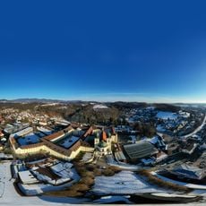
Metten Abbey
891 m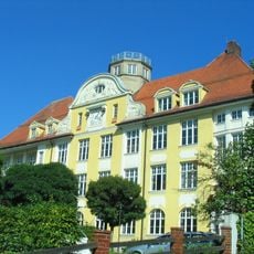
Comenius-Gymnasium Deggendorf
2.9 km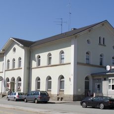
Deggendorf Central Station
2.2 km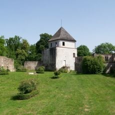
Burg Natternberg
3 km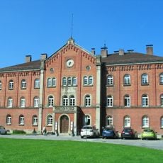
Ehemalige Kreisirrenanstalt Deggendorf
2.4 km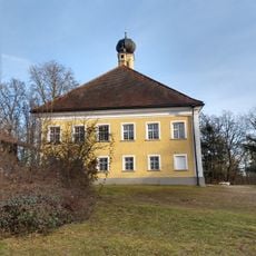
Schloss Himmelberg
2.1 km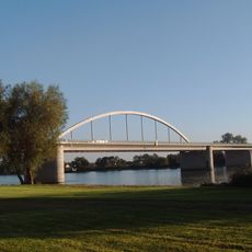
Fischerdorf motorway bridge
3 km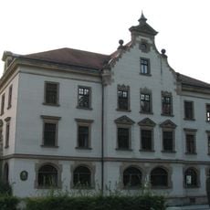
Local Court Deggendorf
3.1 km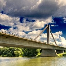
Metten motorway bridge
2.5 km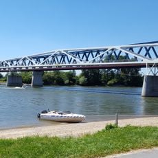
Donausteg Deggendorf
2.7 km
Deggendorfer Himmelreich
719 m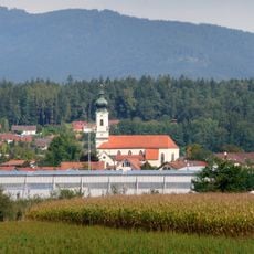
Katholische Pfarrkirche St. Vitus
2.7 km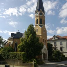
Auferstehungskirche
3 km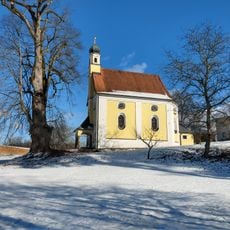
Kirche Uttobrunn
1.1 km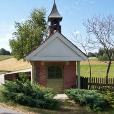
Kapelle in Kohlhof
1.3 km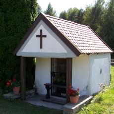
Wegkapelle
1.4 km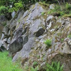
Ehemalige Granitbrüche bei Frauenmühle
1.8 km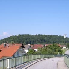
Natternberg
3 km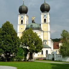
Klosterkirche Metten
783 m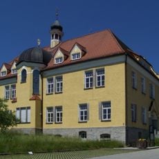
Ehemaliges Krankenhaus, jetzt Rathaus
1.1 km
Bahnhofsgebäude
2.2 km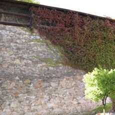
Stadtmauer (Deggendorf)
3.1 km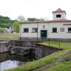
Schöpfwerk Metten
1 km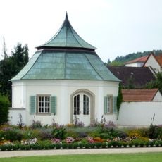
Gartenpavillon
959 m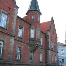
Ehemaliges Waisenhaus, jetzt Volkshochschule
3.1 km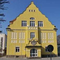
Aloys-Fischer-Schule Deggendorf
2.8 km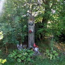
Bildstock
779 m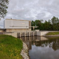
Schöpfwerk Metten (neu)
1.1 kmReviews
Visited this place? Tap the stars to rate it and share your experience / photos with the community! Try now! You can cancel it anytime.
Discover hidden gems everywhere you go!
From secret cafés to breathtaking viewpoints, skip the crowded tourist spots and find places that match your style. Our app makes it easy with voice search, smart filtering, route optimization, and insider tips from travelers worldwide. Download now for the complete mobile experience.

A unique approach to discovering new places❞
— Le Figaro
All the places worth exploring❞
— France Info
A tailor-made excursion in just a few clicks❞
— 20 Minutes