
Ehem. Stadel, zweigeschossiger und giebelständiger Halbwalmdachbau mit korbbogigen Öffnungen, 18./19. Jahrhundert
Location: Regenstauf
Address: Hauptstraße 44
GPS coordinates: 49.12710,12.13004
Latest update: June 10, 2025 13:35
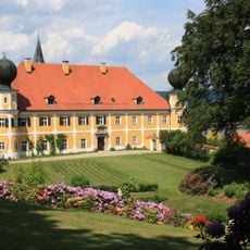
Schloss Ramspau
3.2 km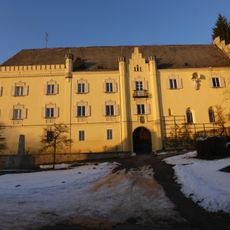
Schloss Karlstein
4.3 km
Burgstall Regenstauf
292 m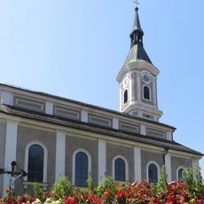
Pfarrkirche St. Jakobus
517 m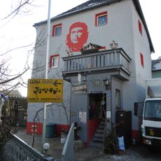
Ehem. Adelssitz
513 m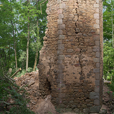
Burg Forstenberg
3.7 km
St. Johannes Evangelist
961 m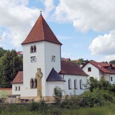
Heilige Dreifaltigkeit
4.1 km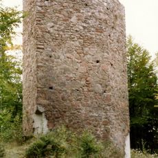
Burg Ramspau
3.1 km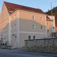
Unteres Schloss
109 m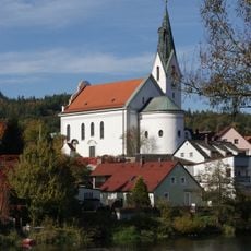
Ramspau - St. Laurentius
3.3 km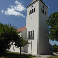
Pfarrkuratiekirche St. Michael
4.9 km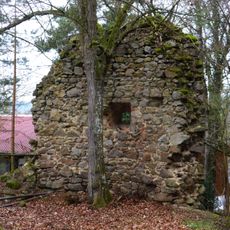
Burgstall Stadel
3.1 km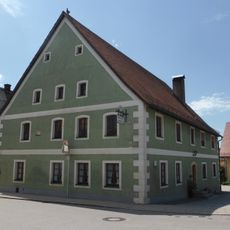
Gasthof
4.9 km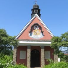
Kapelle St. Theresia
2.4 km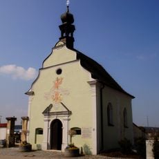
St. Sebastian (Regenstauf)
779 m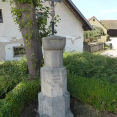
Marterl
4.8 km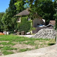
Gärtnerhaus Waldheimstraße 8 in Zeitlarn
4.2 km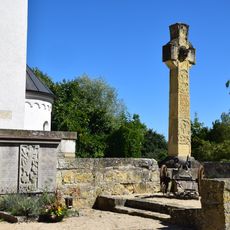
Kriegerdenkmal Nähe Faber-Castell-Straße in Zeitlarn
4.1 km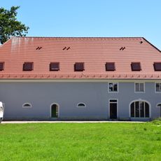
Stallstadel Nähe Faber-Castell-Straße in Zeitlarn
4.2 km
Aussichtsturm
201 m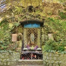
Lourdesgrotte mit Marienfigur
350 m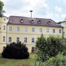
Schloss Regendorf
4.2 km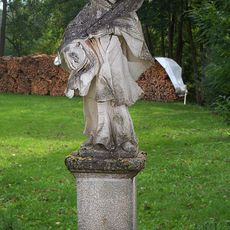
Figur des hl. Johann von Nepomuk
4.2 km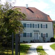
Pfarrhaus
3.3 km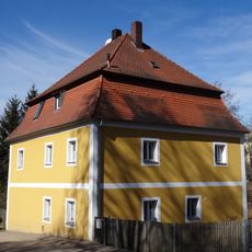
Ehem. Schulhaus
4.2 km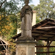
Brückenfigur des hl. Johannes Nepomuk
4.5 km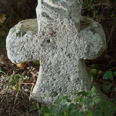
Steinkreuz
3.1 kmReviews
Visited this place? Tap the stars to rate it and share your experience / photos with the community! Try now! You can cancel it anytime.
Discover hidden gems everywhere you go!
From secret cafés to breathtaking viewpoints, skip the crowded tourist spots and find places that match your style. Our app makes it easy with voice search, smart filtering, route optimization, and insider tips from travelers worldwide. Download now for the complete mobile experience.

A unique approach to discovering new places❞
— Le Figaro
All the places worth exploring❞
— France Info
A tailor-made excursion in just a few clicks❞
— 20 Minutes