
NTP S-H Wadden Sea and adjacent coastal areas
NTP S-H Wadden Sea and adjacent coastal areas, protected area in the European Union defined by the habitats directive in Schleswig-Holstein, Germany
Location: Nordfriesland district
Inception: 2004
GPS coordinates: 54.48444,8.47732
Latest update: March 5, 2025 11:26

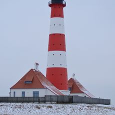
Westerheversand Lighthouse
16.2 km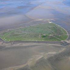
Süderoog
5.4 km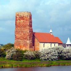
St. Salvator
8.2 km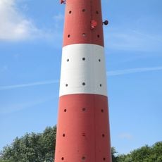
Leuchtturm Pellworm
12.3 km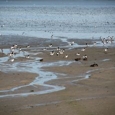
Nordfriesisches Wattenmeer
17.3 km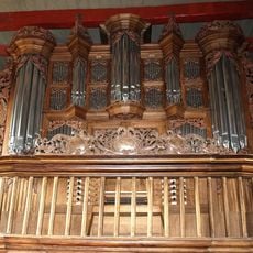
Organ of Alte Kirche St. Salvator
8.3 km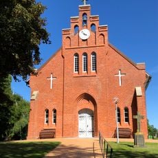
Neue Kirche
11.6 km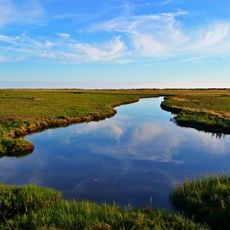
Wadden Sea and Hallig Islands of Schleswig-Holstein Biosphere Reserve
11.4 km
Stockenstieg
16.2 km
Wriakhörn Lighthouse
17.7 km
Leuchtturm Wittdün
16.6 km
St. Stephanus
17.2 km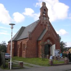
Kapelle
16.8 km
Rütergat
14.3 km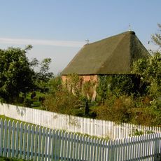
St. John's Church
10.8 km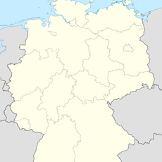
Schmaltief
10.7 km
Rungholtmuseum Bahnsen
9.2 km
Leuchtturm Nordmarsch
16.1 km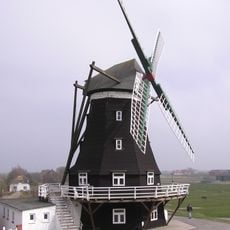
Nordermühle
12.1 km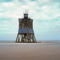
Leuchtturm Süderoogsand
6.7 km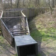
Vogelkoje Pellworm
15.7 km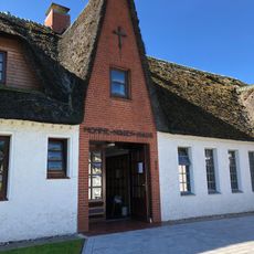
Momme-Nissen-Haus
14.1 km
Haubarg Rosenhof
16.9 km
Kirchwarft
10.8 km
Westerhever Sand
14.9 km
Haubarg
17.2 km
Haubarg Stufhusen
15.6 km
Zur alten Post (Amrum)
16.7 kmReviews
Visited this place? Tap the stars to rate it and share your experience / photos with the community! Try now! You can cancel it anytime.
Discover hidden gems everywhere you go!
From secret cafés to breathtaking viewpoints, skip the crowded tourist spots and find places that match your style. Our app makes it easy with voice search, smart filtering, route optimization, and insider tips from travelers worldwide. Download now for the complete mobile experience.

A unique approach to discovering new places❞
— Le Figaro
All the places worth exploring❞
— France Info
A tailor-made excursion in just a few clicks❞
— 20 Minutes