Wadden Sea and Hallig Islands of Schleswig-Holstein Biosphere Reserve
Wadden Sea and Hallig Islands of Schleswig-Holstein Biosphere Reserve, Coastal biosphere reserve in Northern Germany.
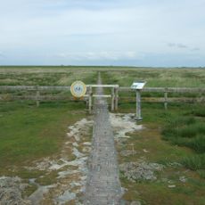
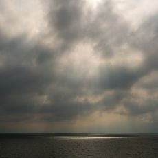
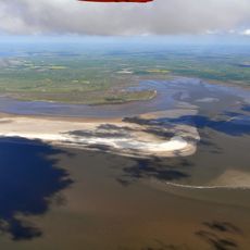
The Wadden Sea and Hallig Islands biosphere reserve is a protected coastal area featuring extensive mudflats, salt marshes, and five inhabited islands along the North Sea. The landscape changes constantly with two daily tidal cycles that submerge and expose the seabed.
UNESCO designated this coastal area as a biosphere reserve in 1990 to protect an ecosystem shaped by thousands of years of human settlement. The five inhabited Hallig islands were officially added to the protected zone in 2005.
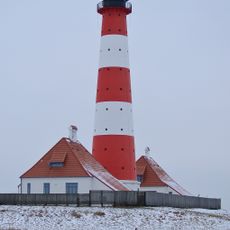
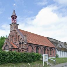
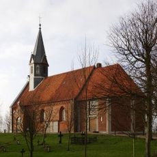
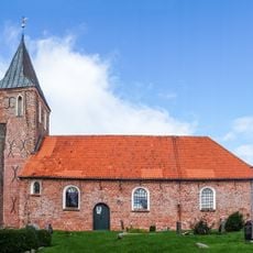
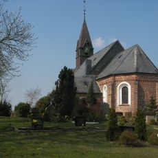
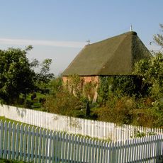
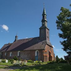
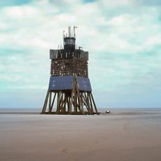
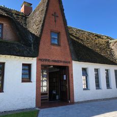
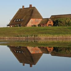
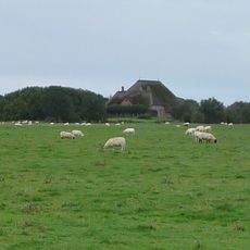
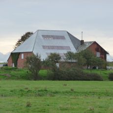
The Hallig islands are home to communities who have adapted their way of life to live with regular tidal flooding for centuries. Their raised houses built on artificial mounds shape the landscape and show a unique relationship between people and the natural environment.
Check tide schedules carefully before exploring the mudflats, as the area experiences two daily tidal cycles that determine when areas are accessible or underwater. Wear sturdy shoes and waterproof clothing to safely navigate the wet, windy terrain.
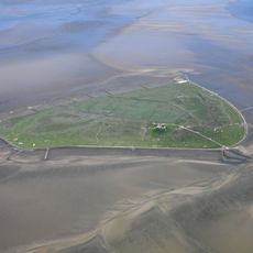
The Hallig islands are the only formations of their kind in the world, distinguished by their low-lying, flat structure that extends barely above sea level. During severe storms, entire islands can be submerged, making resident life there truly exceptional and rare.
Location: Lower Saxony
Location: Wangerland
Location: Sande
Location: Wittmund
Location: Norderney
Location: Insel Lütje Hörn
Location: Geestland
Location: Wurster Nordseeküste
Location: Borkum
Location: Stadland
Location: Jade
Location: Nordenham
Location: Nordseeinsel Memmert
Location: Butjadingen
Location: Cuxhaven
Location: Norden
Location: Hagermarsch
Location: Baltrum
Location: Juist
Location: Varel
Location: Bockhorn
Location: Dornum
Location: Zetel
Location: Spiekeroog
Location: Esens
Location: Krummhörn
Location: Langeoog
Location: Neuharlingersiel
Location: Wangerooge
GPS coordinates: 54.45630,8.64641
Latest update: December 14, 2025 16:42
Westerheversand Lighthouse
9.2 km
Süderoog
6.1 km
St. Salvator
7.5 km
Leuchtturm Pellworm
4.6 km
Alt-katholische Kirche St. Theresia
13.9 km
Organ of Alte Kirche St. Salvator
7.4 km
Neue Kirche
6.3 km
Stockenstieg
8.7 km
St. Vincent Church
13.5 km
St. Stephanus
8.5 km
St. John's church
13 km
St. John's Church
14.6 km
Rungholtmuseum Bahnsen
5.7 km
St. Magnus Church
15.1 km
Leuchtturm Süderoogsand
11.5 km
Nordermühle
9.2 km
St.Nicholas church
13.7 km
Röm.-Kath. Kirche St. Knud
13.8 km
St. Martin's Church
11 km
Vogelkoje Pellworm
9.6 km
Momme-Nissen-Haus
9.1 km
NTP S-H Wadden Sea and adjacent coastal areas
11.4 km
Altkath. Kirche „St. Theresia“ mit Ausstattung und Pfarrhaus
13.9 km
Kirchwarft
14.6 km
Haubarg Rosenhof
8.9 km
Westerhever Sand
8.8 km
Haubarg Stufhusen
6.9 km
Haubarg
9.1 kmVisited this place? Tap the stars to rate it and share your experience / photos with the community! Try now! You can cancel it anytime.
Discover hidden gems everywhere you go!
From secret cafés to breathtaking viewpoints, skip the crowded tourist spots and find places that match your style. Our app makes it easy with voice search, smart filtering, route optimization, and insider tips from travelers worldwide. Download now for the complete mobile experience.
A unique approach to discovering new places❞
— Le Figaro
All the places worth exploring❞
— France Info
A tailor-made excursion in just a few clicks❞
— 20 Minutes