Wangerooge, Coastal spa municipality in East Frisian Islands, Germany.
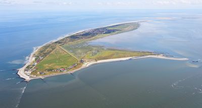
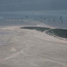
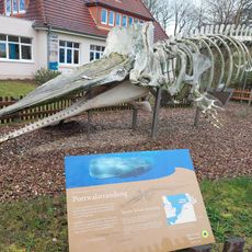
Wangerooge is an inhabited East Frisian island in the North Sea, covering about 8 square kilometers (3 square miles) between open water and protected tidal flats. The island features dune landscapes, salt marshes and a sandy beach running along its northern shore.
The island joined the Grand Duchy of Oldenburg in 1815 and remained part of that territory until 1947, separating it administratively from neighboring islands. After the Second World War it became part of the newly formed state of Lower Saxony.
The name comes from Frisian words meaning meadow by the water, reflecting how flat grasslands meet the sea here. Visitors experience island life shaped by tides, where daily routines adjust to ferry times and water levels.
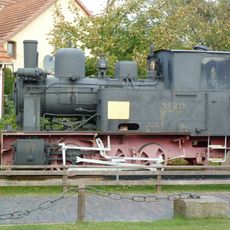
A ferry harbor on the southern side connects the island to the mainland, with departure times depending on tidal conditions. A narrow gauge railway carries arrivals from the port to the main settlement, where accommodations and shops are within walking distance.
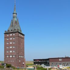
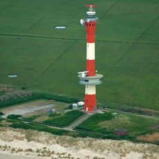
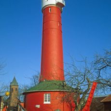
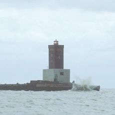
A tower dating to the 16th century gradually shifted from the eastern part of the island to its western side through natural sand drift. This migration only stopped when coastal defenses were built to stabilize the shifting sands and protect settled areas.
The community of curious travelers
AroundUs brings together thousands of curated places, local tips, and hidden gems, enriched daily by 60,000 contributors worldwide.