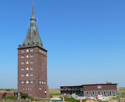
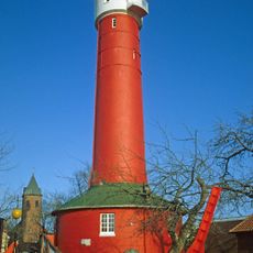
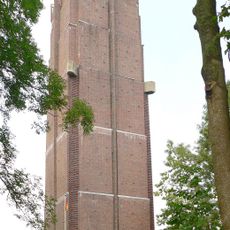
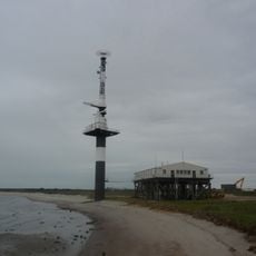
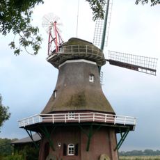
Westturm, Cultural heritage tower in Wangerooge, Germany.
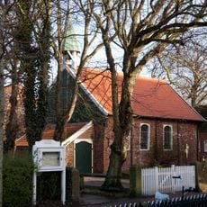
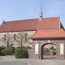
The Westturm is a historic structure on the East Frisian island of Wangerooge with origins from the late Middle Ages. It served maritime navigation for centuries as a reference point for ships traveling through the North Sea.
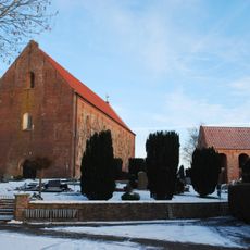
The structure was first mentioned around 1350, but underwent significant changes in 1597 and again in 1932. These alterations reflect how the island adapted its defenses and navigational aids over different centuries.
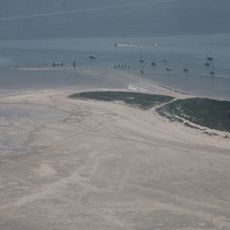
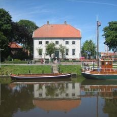
The tower has shaped how people see Wangerooge for centuries and serves visitors as a clear landmark in the landscape. Locals and travelers alike use it as a reference point to navigate the flat North Sea surroundings.
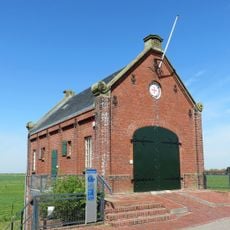
The tower is easy to reach on foot or by bicycle from Wangerooge village and offers good viewing points in the flat landscape. Information boards at various spots on the island explain its importance to maritime history and the island's development.
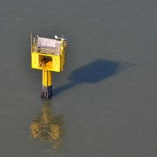
The tower once served as part of Gauss's geodetic measurement network that transformed how Germany was mapped. This scientific role is largely unknown to today's visitors, even though the structure continues to function as a navigation landmark.
Location: Wangerooge
Inception: 14 century
Part of: Gauß Triangulation
GPS coordinates: 53.79058,7.85050
Latest update: December 8, 2025 19:43
Carolinensiel harbour
11.5 km
Neuer Leuchtturm Wangerooge
443 m
St. Marien
15.1 km
Alte Inselkirche
10.4 km
Alter Leuchtturm Wangerooge
3.2 km
Deutsches Sielhafenmuseum in Carolinensiel
11.4 km
Ostanleger Wangerooge
8.2 km
Neuharlingersiel harbour
13.8 km
Moltke
8.8 km
Brücke der Erinnerung
9.5 km
Daymark Wangerooge-East
7.5 km
Wasserturm Hohenkirchen
14.8 km
St. Willehad
3.5 km
St.Peter church Spiekeroog
11 km
Carolinensiel church
11.5 km
Wiesenbatterie Schillig
14 km
St. Sixtus und Sinicius
14.9 km
Sielhof
14.1 km
Severinus- und Jacobus-Kirche
12.2 km
Hydrographische Messstation Spiekeroog
12.6 km
Minsener Oog Buhne C Lighthouse
11.9 km
Nationalpark-Haus Wangerooge
3.4 km
Nationalpark-Haus Wittbülten
8.5 km
Minsener Oog Buhne A lighthouse
10.3 km
Nationalpark-Haus Carolinensiel
11.4 km
Cliner Quelle
10.9 km
Stumpenser Mühle
14.3 km
Alt- und Jungfischer
14 kmVisited this place? Tap the stars to rate it and share your experience / photos with the community! Try now! You can cancel it anytime.
Discover hidden gems everywhere you go!
From secret cafés to breathtaking viewpoints, skip the crowded tourist spots and find places that match your style. Our app makes it easy with voice search, smart filtering, route optimization, and insider tips from travelers worldwide. Download now for the complete mobile experience.
A unique approach to discovering new places❞
— Le Figaro
All the places worth exploring❞
— France Info
A tailor-made excursion in just a few clicks❞
— 20 Minutes