Langeoog

Log in to your account

AroundUs is a community-driven map of interesting places, built by curious explorers like you. It grows with every review, story, and photo you share.
Connect to save your favorite spots, contribute locations, and create personalized routes.
Continue with Google
Continue with Apple
Continue with X
Continue with Facebook
Continue with email
By continuing, you accept our Terms and Conditions and our Privacy Policy
Create an account
Add to collection
Map
Suggest a change
Share

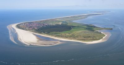
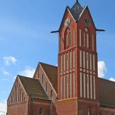
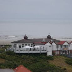
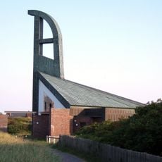
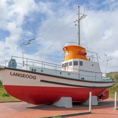
Langeoog, Coastal spa island in Lower Saxony, Germany.

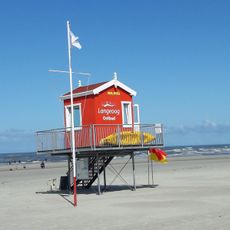
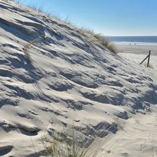
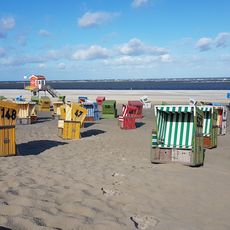
This barrier island sits off the coast of Lower Saxony, stretching about 19 square kilometers between grass-topped dunes and tidal flats. A long sandy beach runs for 14 kilometers along the northern shore, while the interior holds low-lying wetlands and patches of protected vegetation.

Records from the late 1300s mention fishermen and farmers living here, though storms regularly reshaped the coastline. The Christmas flood of 1717 split the landmass into three sections, forcing residents to rebuild and adapt their settlements over the following decades.

Locals maintain a rhythm of life shaped by ferry schedules and tides, with shops and cafes opening around boat arrivals. Visitors notice how residents move by bicycle or on foot, creating a quiet environment where conversations carry through the streets.

Ferries from the mainland port of Bensersiel run several times a day, with journey times depending on tide conditions. Once you arrive, the small railway connects the pier to the village center in a few minutes, and bicycle rental shops line the main street for exploring beyond the settlement.

The narrow-gauge railway has run continuously since 1936, making it one of the few still operating on the German North Sea coast. Its tracks cut straight through flat grassland, offering passengers an open view of the surrounding wetlands during the short ride.

Location: Wittmund

Inception: 1398

Elevation above the sea: 5 m

Website: https://gemeinde.langeoog.de

GPS coordinates: 53.74833,7.47972

Latest update: December 14, 2025 23:21

Photos
Secret beaches in Europe: secluded shores, natural formations, coastal trails

Europe's most secluded beaches offer access to natural coastal environments that remain undeveloped due to their distance from major tourist centers. These locations span from the volcanic black sands of Iceland's southern shores to the pink-tinted beaches of southwestern Crete, formed from crushed...

Reviews

Visited this place? Tap the stars to rate it and share your experience / photos with the community! Try now! You can cancel it anytime.

« Langeoog - Coastal spa island in Lower Saxony, Germany » is provided by Around Us (aroundus.com). Images and texts are derived from Wikimedia project under a Creative Commons license. You are allowed to copy, distribute, and modify copies of this page, under the conditions set by the license, as long as this note is clearly visible.

Discover hidden gems everywhere you go!

From secret cafés to breathtaking viewpoints, skip the crowded tourist spots and find places that match your style. Our app makes it easy with voice search, smart filtering, route optimization, and insider tips from travelers worldwide. Download now for the complete mobile experience.

Around Us App Screenshot

A unique approach to discovering new places

Le Figaro

All the places worth exploring

France Info

A tailor-made excursion in just a few clicks

20 Minutes