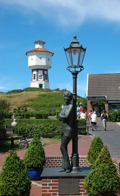
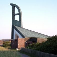
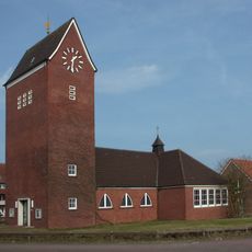
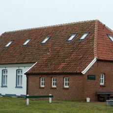
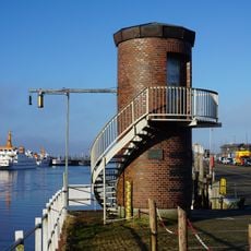
Water tower, Langeoog, Cultural heritage monument in Langeoog, Germany.
The water tower of Langeoog is a concrete and brick construction that rises prominently above the flat island landscape, distinguished by its slender form. The structure was originally designed for water storage and supply of the settlement and features a characteristic layout with a tank at the top and supporting base below.
The tower was built in 1909 when Langeoog was developing into a modern settlement and reliable water supply became necessary. It represents the infrastructure modernization that North Sea island communities underwent during this period.
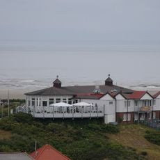
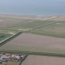
The tower shapes the island's appearance as a modern structure from Langeoog's early development period. Its visual presence and location make it an anchor point that people notice and remember when moving through the settlement.
The tower is located in the center of the island and is reachable on foot, requiring only a short walk from most parts of the settlement. Visitors should be aware that interior access is limited and guided visits are offered during specific seasons.
The structure appears on postcards documented by the British Water Tower Appreciation Society, showing there are enthusiasts who collect images of these specific architectural forms. This international collector attention is remarkable for a relatively modest building on a small island.
The community of curious travelers
AroundUs brings together thousands of curated places, local tips, and hidden gems, enriched daily by 60,000 contributors worldwide.