Nordfriesisches Wattenmeer

Log in to your account

AroundUs is a community-driven map of interesting places, built by curious explorers like you. It grows with every review, story, and photo you share.
Connect to save your favorite spots, contribute locations, and create personalized routes.
Continue with Google
Continue with Apple
Continue with X
Continue with Facebook
Continue with email
By continuing, you accept our Terms and Conditions and our Privacy Policy
Create an account

Nordfriesisches Wattenmeer

Add to collection
Map
Suggest a change
Share

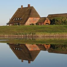
Nordfriesisches Wattenmeer, Protected intertidal zone in Schleswig-Holstein, Germany.

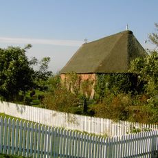
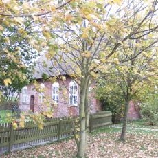
The Nordfriesisches Wattenmeer is a protected coastal zone with extensive mudflats, salt marshes, and wetland areas along the North Sea shore. The landscape constantly shifts between water and mud, creating a complex habitat that supports a wide range of life.

This area received protected status in 1982 and has become a recognized natural heritage site. The mudflats formed naturally following the last ice age, representing thousands of years of coastal evolution and change.

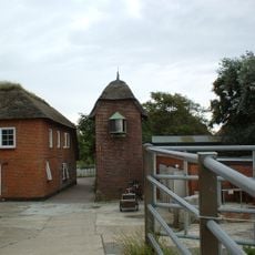
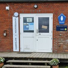
Coastal communities have adapted to this environment for generations, using it both for their daily work and for connecting with nature. Watt walks and shellfish gathering remain part of the local identity, showing how people live with these tidal lands rather than apart from them.

Visitors can walk on designated paths during low tide and join guided nature tours available throughout the area. It is important to check tidal times before exploring and to understand local conditions, as the landscape changes dramatically with the water.

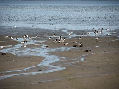
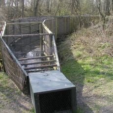
This area serves as a stopover for millions of migratory birds traveling between continents each year. This seasonal movement represents one of the largest bird migrations on Earth and makes the mudflats a crucial point on their route.

Location: Schleswig-Holstein

Location: Hörnum

Location: Sylt

Location: Simonsberg

Location: Uelvesbüll

Location: Norderfriedrichskoog

Location: Tetenbüll

Location: Westerhever

Location: Tating

Location: Sankt Peter-Ording

Location: Langeneß

Location: Nordfriesland district

Inception: 1982

GPS coordinates: 54.60861,8.63944

Latest update: December 12, 2025 14:21

Photos
Reviews

Visited this place? Tap the stars to rate it and share your experience / photos with the community! Try now! You can cancel it anytime.

« Nordfriesisches Wattenmeer - Protected intertidal zone in Schleswig-Holstein, Germany » is provided by Around Us (aroundus.com). Images and texts are derived from Wikimedia project under a Creative Commons license. You are allowed to copy, distribute, and modify copies of this page, under the conditions set by the license, as long as this note is clearly visible.

Discover hidden gems everywhere you go!

From secret cafés to breathtaking viewpoints, skip the crowded tourist spots and find places that match your style. Our app makes it easy with voice search, smart filtering, route optimization, and insider tips from travelers worldwide. Download now for the complete mobile experience.

Around Us App Screenshot

A unique approach to discovering new places

Le Figaro

All the places worth exploring

France Info

A tailor-made excursion in just a few clicks

20 Minutes