
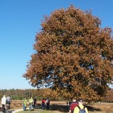
Lüntener Fischteich u. Ammeloer Venn
Lüntener Fischteich u. Ammeloer Venn, protected area in the European Union defined by the habitats directive in Nordrhein-Westfalen, Germany
Location: Vreden
Inception: 1999
GPS coordinates: 52.11306,6.81195
Latest update: April 19, 2025 05:23
Buurserzand
5.1 km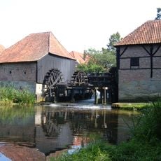
Oostendorper Watermolen, Haaksbergen
6.1 km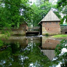
Haarmühle
4.9 km
Schwattet Gatt
5 km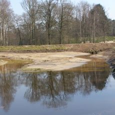
Landgoed Het Lankheet
6.5 km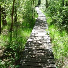
Witte Veen
5.7 km
Lüntener Fischteiche
1.8 km
Wacholderheide Hörsteloe
6.4 km
Vogelschutzgebiet 'Moore und Heiden des westlichen Münsterlandes'
6.1 km
Lüntener Wald
173 m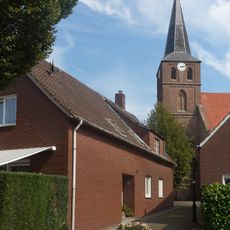
St. Antonius Abt
3.8 km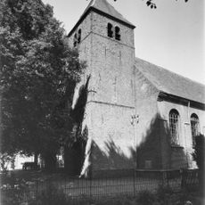
Antoniuskerk
6.4 km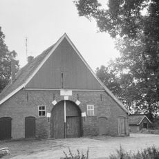
Haaksbergerweg 13, Buurse
3.4 km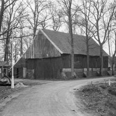
Barn Zendvelderweg 7, Buurse
3.1 km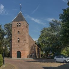
Toren van de Antoniuskerk
6.4 km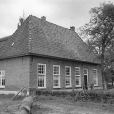
Merink
6.5 km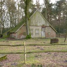
De Bommelas, Buurse
5 km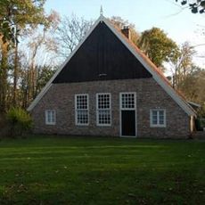
Den Borg
5.3 km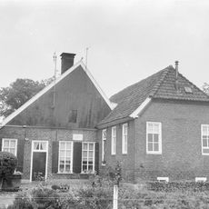
Hasseltweg 19, Haaksbergen
6.1 km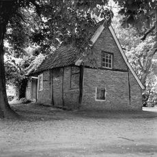
Klaashuisstraat 62, Haaksbergen
5.6 km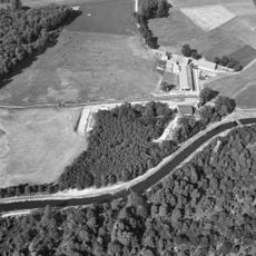
Harrevelder Schans
4.8 km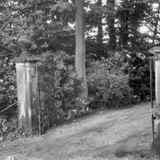
Twee natuurstenen hekpijlers
5.7 km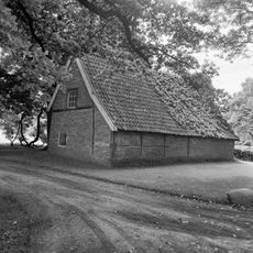
Voormalige blauwververij
5.6 km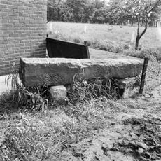
Grenspaal bij Oldenkotsedijk 51, Haaksbergen
5 km
Watermolenweg 4, Haaksbergen
6.1 km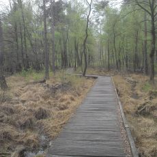
Schwattet Gatt
4.8 km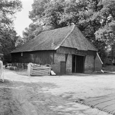
Barn near Oostendorper Watermolen
6 km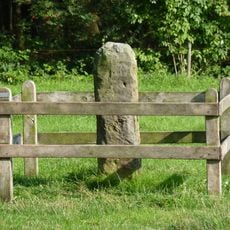
Leppenpaal in weide bij Oude Haaksbergerdijk 310; scheiding tussen Usseler- en Buursermarke
6.4 kmReviews
Visited this place? Tap the stars to rate it and share your experience / photos with the community! Try now! You can cancel it anytime.
Discover hidden gems everywhere you go!
From secret cafés to breathtaking viewpoints, skip the crowded tourist spots and find places that match your style. Our app makes it easy with voice search, smart filtering, route optimization, and insider tips from travelers worldwide. Download now for the complete mobile experience.

A unique approach to discovering new places❞
— Le Figaro
All the places worth exploring❞
— France Info
A tailor-made excursion in just a few clicks❞
— 20 Minutes