
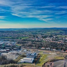
Itzenplitz - Altsteigerhaus - Jungenwald, protected area in Germany
Location: Merchweiler
Inception: 1963
GPS coordinates: 49.34830,7.07765
Latest update: November 20, 2025 03:11
Grube Reden
2.5 km
Itzenplitz mine
1.2 km
Rechtsschutzsaal Bildstock
2.2 km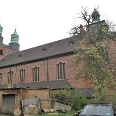
St. Laurentius
1.6 km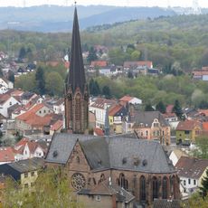
St. Josef (Bildstock)
2.3 km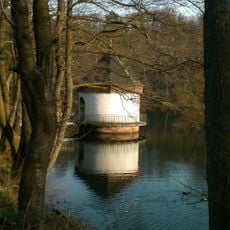
Naherholungsraum Itzenplitz
1.2 km
Bildstock-Tunnel
2.2 km
Evangelische Kirche Heiligenwald
1.4 km
Quierschieder Kopf (Waldungen zwischen Bildstock und Quierschied, hier:Teilbereich Friedrichsthal)
2.5 km
Kallenberg
942 m
Schiffweiler-Itzenplitz
1.8 km
Illaue zwischen Muehlengrabenweg und Bundesbahn in Wemmetsweiler
2.4 km
Heimatmuseum Wemmetsweiler
2.5 km
Quierschieder Stollen
2.5 km
Historisches Pumpenhäuschen
1.3 km
Work of art
1 km
Gedenktafel für die Opfer des Grubenunglücks 28. Januar 1907
2.5 km
Saarwaldverein Ortsgruppe Quierschied
2 km
Gedenksäule für die Opfer des Grubenunglücks 1864
2.5 km
Mariensäule
2.1 km
Memorial
1.6 km
Marinekameradschaft Prinz-Eugen
2.1 km
Gedenkstein an Gabriel Schramm
841 m
Sachsenkreuz
1.5 km
Wayside cross
2 km
Gefallenengedenktafel
2 km
War memorial, memorial
2.5 km
Wayside cross
2.1 kmReviews
Visited this place? Tap the stars to rate it and share your experience / photos with the community! Try now! You can cancel it anytime.
Discover hidden gems everywhere you go!
From secret cafés to breathtaking viewpoints, skip the crowded tourist spots and find places that match your style. Our app makes it easy with voice search, smart filtering, route optimization, and insider tips from travelers worldwide. Download now for the complete mobile experience.

A unique approach to discovering new places❞
— Le Figaro
All the places worth exploring❞
— France Info
A tailor-made excursion in just a few clicks❞
— 20 Minutes