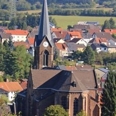
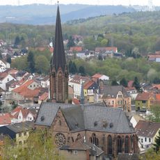
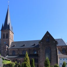
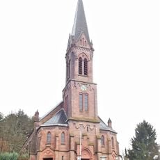
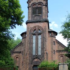
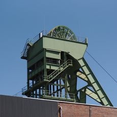
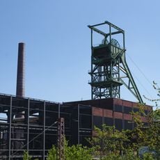
Grube Reden, Coal mine in Schiffweiler, Germany
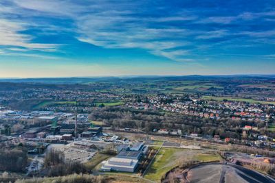
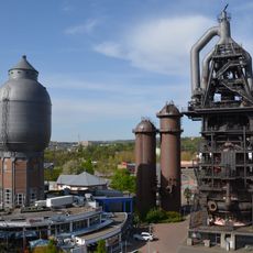
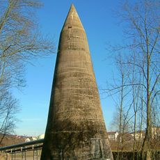
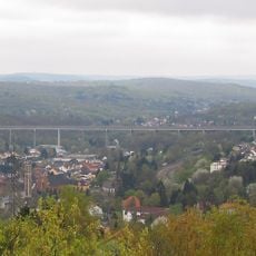
Grube Reden is a coal mining complex in Schiffweiler with preserved industrial buildings, shaft towers, and facilities that once served coal extraction. The site spreads across a large area and retains the physical infrastructure that supported mining operations.
Mining operations started in 1850 and shaped the region for more than a century. Throughout this long period, the site underwent significant changes and faced various challenges until extraction finally ceased in 1995.
The site's name reflects its coal-mining past and shows how deeply this region's identity was shaped by extraction work. Visitors encounter reminders of this industrial heritage throughout and gain insight into how mining defined daily life here.
The site features several walking trails that lead through the mining landscape and suit different fitness levels. Visitors should wear sturdy footwear and allow time to explore the various areas at a leisurely pace.
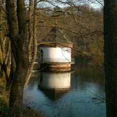
Two shafts of the complex remain active today and serve water management purposes for the surrounding mining region. This ongoing function reveals how mining infrastructure found new purpose after extraction ended.
The community of curious travelers
AroundUs brings together thousands of curated places, local tips, and hidden gems, enriched daily by 60,000 contributors worldwide.