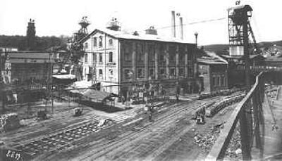
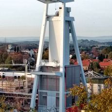
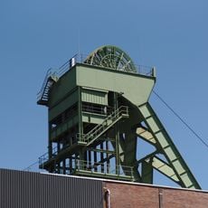
Itzenplitz mine, Coal mine in Schiffweiler, Germany.
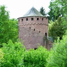
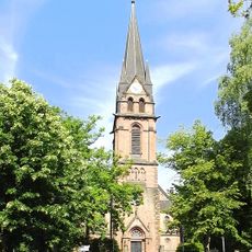
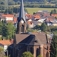
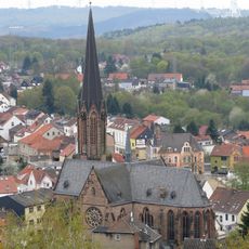
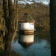
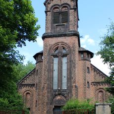
Itzenplitz mine is a former coal extraction site in Schiffweiler featuring two preserved headframes, a historic pump house, and a double washing facility on its grounds. The structures now house residential spaces and businesses while maintaining their original architectural character from the industrial era.
The mine began operations in 1857 as a Prussian state facility and took its name from Count Heinrich von Itzenplitz in 1863. It closed in 1960 after more than a century of coal extraction activity.
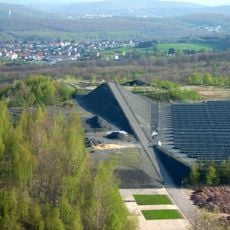
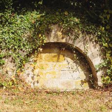
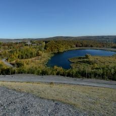
The mining complex shaped how people lived and worked in this region for generations, and its preserved structures tell the story of coal's importance to the Saarland. Walking through the site, you can see how deeply mining influenced the daily rhythms and landscape of the community.
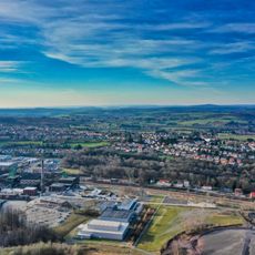
The site is accessible but parts remain private residences or commercial spaces, so exploration is mainly from the outside. The headframes and pump house are clearly visible from public areas and offer good views of the industrial architecture.
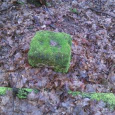
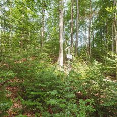
The forest surrounding the site contains over 350 ancient mining depressions called pingen that reveal coal extraction practices dating back to the 15th century. These ground formations offer a hidden record of centuries of mining activity before the modern industrial operation began.
The community of curious travelers
AroundUs brings together thousands of curated places, local tips, and hidden gems, enriched daily by 60,000 contributors worldwide.