South Jutland County, Former administrative county in southern Denmark.
South Jutland County was a former Danish administrative region covering about 3,940 square kilometers (1,521 square miles), including coastal areas, rural farmland, and settlements between the Kongeå and Eider rivers. The region operated as an independent administration until 2007, when it merged into the Region of Southern Denmark.
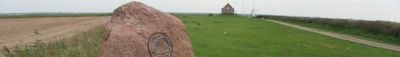
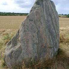
The county came into being after the Prussian war of 1864, when Denmark lost parts of Schleswig to Prussia, before the region returned to Denmark through a 1920 plebiscite. This return after World War I shaped the region's identity throughout the entire 20th century.
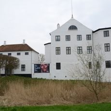
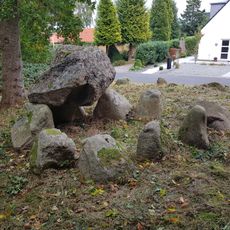
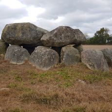
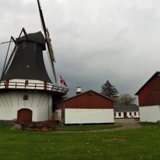
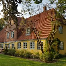
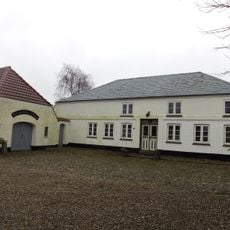
The location near Germany created a region where Danish and German customs mixed together and shaped the local buildings, celebrations, and food. You can still see this blend in the house styles and local dishes that reflect both traditions.
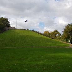
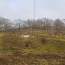
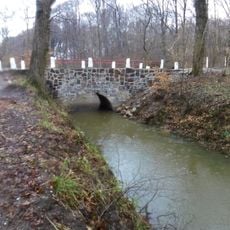
The county is now part of a larger southern region, but you can still visit the various towns and coastal areas to explore its historical geography. The main reference points are the rivers and the proximity to the German border, which shape the character of the landscape.
The county's coat of arms was created in 1980 and blends elements from the historic Schleswig emblem with Danish heraldry, reflecting both cultures in a single symbol. This fusion shows how much the regional identity mattered to people, even after political borders had shifted multiple times.
The community of curious travelers
AroundUs brings together thousands of curated places, local tips, and hidden gems, enriched daily by 60,000 contributors worldwide.