
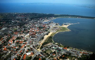
Nykøbing Mors, human settlement
Location: Morsø Municipality
Elevation above the sea: 5 m
GPS coordinates: 56.79810,8.86220
Latest update: April 12, 2025 11:22
Burg Spøttrup
18.3 km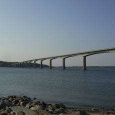
Sallingsund Bridge
5.5 km
Fur Formation
7.5 km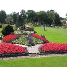
Jesperhus
4.8 km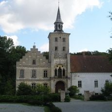
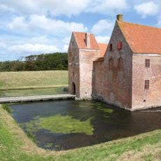
Højriis Castle
7.5 km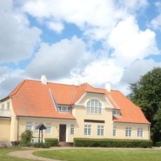
Jenle
20.2 km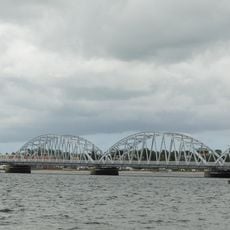
Vilsund Bridge
17 km
Hanklit
12.7 km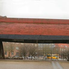
Sallingsund Færgefart
5.5 km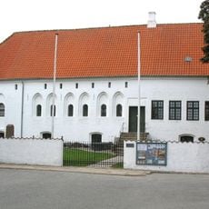
Dueholm Priory
712 m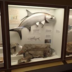
Fur Museum
9.9 km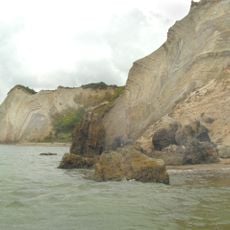
Knudeklint
7.4 km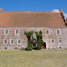
Salling Østergård
8.6 km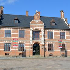
Thisted old Townhall
20.3 km
Ganggrab von Thusbjerg
17.1 km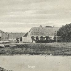
Irup
20.6 km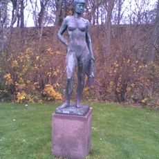
Thistedpigen
20.1 km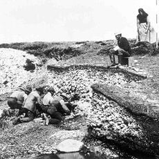
Køkkenmødding von Ertebølle
19.4 km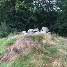
Dalgaards Østerhøj
4.8 km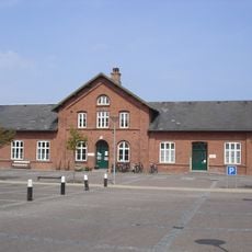
Glyngøre Station
4 km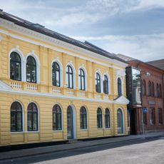
Thisted Museum
20.3 km
Rio Hinnerup
8 km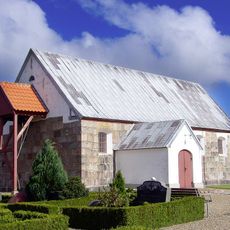
Bjergby Church
11 km
Havnepakhuset
340 m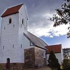
Ljørslev Church
8.4 km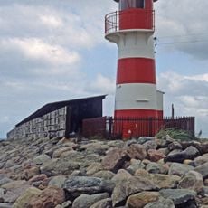
Glyngøre Lighthouse
3.8 km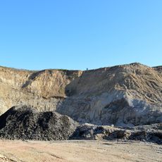
Ejerslev moler Quarry
14.5 km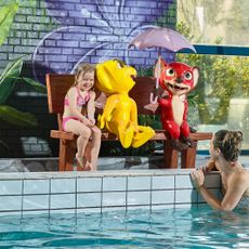
Jesperhus Vandland
4.7 kmReviews
Visited this place? Tap the stars to rate it and share your experience / photos with the community! Try now! You can cancel it anytime.
Discover hidden gems everywhere you go!
From secret cafés to breathtaking viewpoints, skip the crowded tourist spots and find places that match your style. Our app makes it easy with voice search, smart filtering, route optimization, and insider tips from travelers worldwide. Download now for the complete mobile experience.

A unique approach to discovering new places❞
— Le Figaro
All the places worth exploring❞
— France Info
A tailor-made excursion in just a few clicks❞
— 20 Minutes