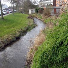
Giber Å, Small river in Aarhus Municipality, Denmark
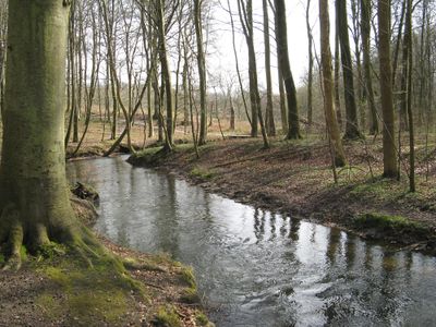
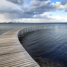
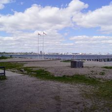
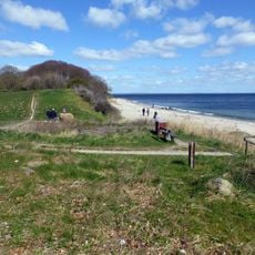
Giber Å is a small river in Aarhus Municipality that flows approximately 12 kilometers from boggy lowlands through settled areas and forests before reaching the coast at Moesgård Beach. The waterway passes through varied landscapes including wetlands, woodlands, and areas around historic mills, creating diverse access points for visitors along its length.
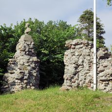
For centuries this waterway served as a natural boundary between Beder and Mårslet Parishes, defining the northern edge of the administrative area. The river's role as a boundary line shaped settlement patterns and land management throughout the medieval and modern periods.
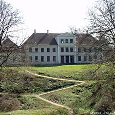
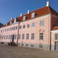
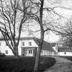
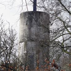
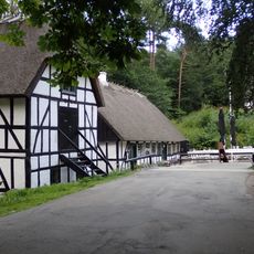
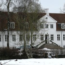
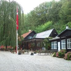
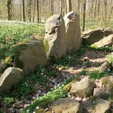
Historic mills line this waterway, including facilities at Vilhelmsborg, Fulden, and Moesgård Forest, which stand as reminders of how water power shaped local industry and settlement patterns.
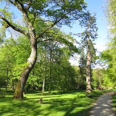
Access to this waterway is possible at several points along its course through forest paths and established trails that lead to the beach area. The riverside terrain varies from open bog to woodland, so visitors should wear suitable footwear and plan their route depending on which sections they wish to explore.
Sea trout travel upstream into tributaries like Hovedgrøften and Kapelbæk during spawning season, while water birds including dippers visit the river in winter months. These seasonal movements make this waterway an interesting spot for wildlife observation throughout the year.
The community of curious travelers
AroundUs brings together thousands of curated places, local tips, and hidden gems, enriched daily by 60,000 contributors worldwide.