
Hassi El Euch, municipality of Algeria
Location: Hassi Bahbah District
GPS coordinates: 35.15306,3.24833
Latest update: April 17, 2025 03:48

Beni Hammad Fort
158.2 km
Theniet El Had National Park
139.8 km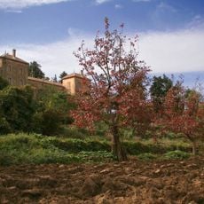
Monastery Our Lady of the Atlas
136 km
Lalla-Khedidja
169.1 km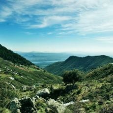
Djurdjura National Park
166.6 km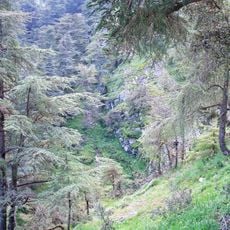
Chrea National Park
143 km
Koudiat Acerdoune Dam
151.8 km
Rock art of the Djelfa region
89.4 km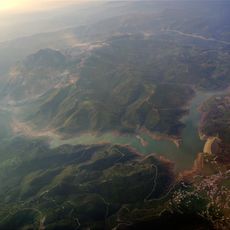
Keddara Dam
167.4 km
El Mokrani Fort
171 km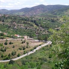
Mont Zaccar
161.1 km
Palais de Kourdane
167.3 km
Rapidum
110.4 km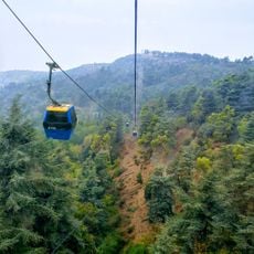
Chrea Gondola lift
149.5 km
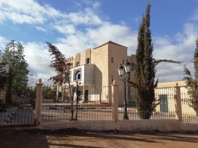
المدرسة التطبيقية بالصومعة
156.1 km
Ouadi El Roukham bridge
150.8 km
Centre technique national de Sidi Moussa
164.4 km
Anou Ifflis
166 km
Stade 20 Août 1955
171 km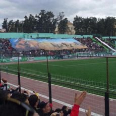
Stade Frères Brakni
153.2 km
Stade Imam Lyes de Médéa
132 km
Mosquée de Bouira
146.8 km
Stade Abdelkader-Zerrouki
167 km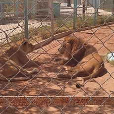
Zoo
55.2 km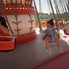
Famili Parc
139.8 km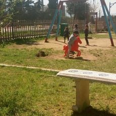
Parc de loisirs familial de Blida
151.8 km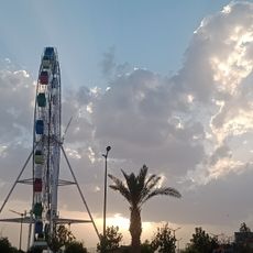
Djelfa Land
56.4 km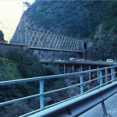
Chiffa Gorges
145.5 kmReviews
Visited this place? Tap the stars to rate it and share your experience / photos with the community! Try now! You can cancel it anytime.
Discover hidden gems everywhere you go!
From secret cafés to breathtaking viewpoints, skip the crowded tourist spots and find places that match your style. Our app makes it easy with voice search, smart filtering, route optimization, and insider tips from travelers worldwide. Download now for the complete mobile experience.

A unique approach to discovering new places❞
— Le Figaro
All the places worth exploring❞
— France Info
A tailor-made excursion in just a few clicks❞
— 20 Minutes