
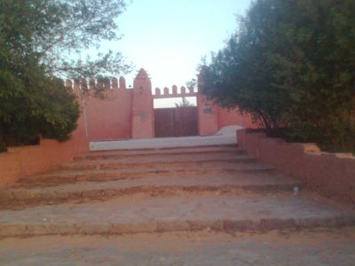
Tinerkouk, town and commune in Timimoun Province, Algeria
Location: Tinerkouk District
Elevation above the sea: 383 m
Shares border with: El Abiodh Sidi Cheikh
GPS coordinates: 29.70000,0.71667
Latest update: April 11, 2025 06:35
M'zab
419.6 km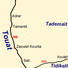
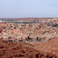
Tuat
278.8 km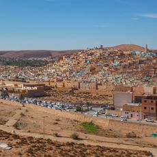
Beni Isguen
419.6 km
Rock art of the Djelfa region
570.6 km
Palais de Kourdane
486.8 km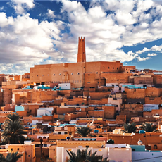
Ksar Melika
419.6 km
Djebel Aissa National Park
371.3 km
Djebel Issa
374.8 km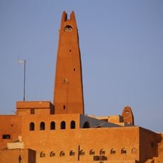
Gran Mezquita de Gardaya
417.9 km
Chapelle de Charles de Foucauld
282.1 km
Saharan Museum of Ouargla
508.5 km
Mausolée de Sidi Boudkhil
360.8 km
Museo Casa de Carranza
310 km
Mosquée du Vieux Ksar
282.8 km
Casa Maria Felix
306.3 km
Museo De La Memoria Viva
359.2 km
Museo Julio Galán
215.7 km
Zoo
601.7 km
Zoo des reptiles d'El Atteuf
418.1 km
Ksar Bounoura
420.7 km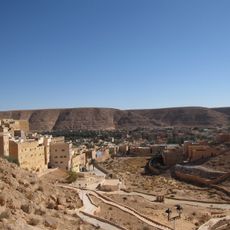
Ksar El Atteuf
422.8 km
Mosque Sidi Brahim
422.6 km
Djelfa Land
601.6 km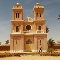
Church of Saint-Joseph, El Menia
231.2 km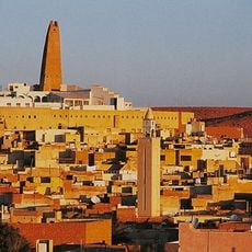
Ksar Ghardaia
419.3 km
قصر كوردان
486.8 km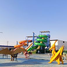
Pépinière et Zoo
558.6 km
حديقة التسلية والترفيه عموري
409.3 kmReviews
Visited this place? Tap the stars to rate it and share your experience / photos with the community! Try now! You can cancel it anytime.
Discover hidden gems everywhere you go!
From secret cafés to breathtaking viewpoints, skip the crowded tourist spots and find places that match your style. Our app makes it easy with voice search, smart filtering, route optimization, and insider tips from travelers worldwide. Download now for the complete mobile experience.

A unique approach to discovering new places❞
— Le Figaro
All the places worth exploring❞
— France Info
A tailor-made excursion in just a few clicks❞
— 20 Minutes