
Bir el-Ater, district in Tébessa Province, Algeria
Location: Bir el-Ater District
Elevation above the sea: 889 m
GPS coordinates: 34.74852,8.05796
Latest update: April 20, 2025 16:43
Tozeur
85.1 km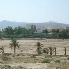
Gafsa
75.8 km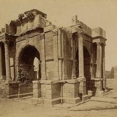
Theveste
72.7 km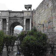
Arch of Caracalla
73.3 km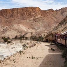
Lézard rouge
54.2 km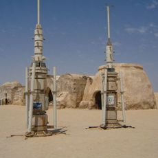
Onk Jmel
86.3 km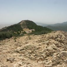
Chambi National Park
75.4 km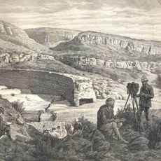
Kasserine Dam
82.1 km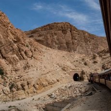
Selja Gorges
50.5 km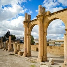
Tebessa Basilica
73.8 km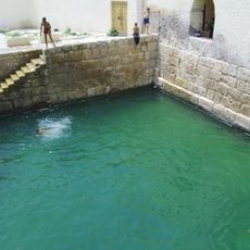
Roman baths of Gafsa
76.4 km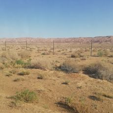
Dghoumes National Park
86.2 km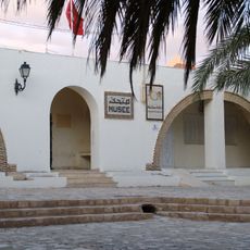
Gafsa Archaeological Museum
76.4 km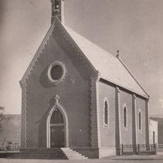
Moularès church
34.8 km
Djebel Bouramli
52.8 km
Saint Joseph Church (Gafsa)
78.8 km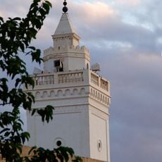
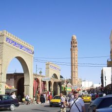
Great Mosque of Gafsa
76.3 km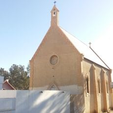
Saint Paul Church (Redeyef)
41.6 km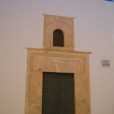
Dar Longo
76.5 km
Theatre of Kasserine
82.2 km
Flavii Mausoleum
82.5 km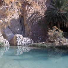
Chebika oasis
48.7 km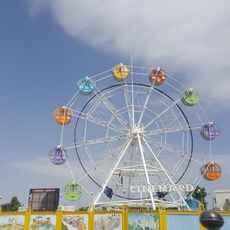
Family Park
73.9 km
Chott el Guettar
92.1 km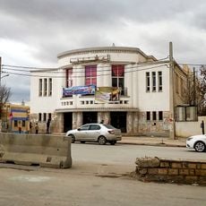
Cinéma Maghreb
73.3 km
Gafsa oasis
74.8 km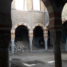
Gafsa Synagogue
76.3 km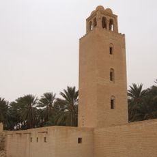
Minaret of the Ouled Majed Mosque
85.5 kmReviews
Visited this place? Tap the stars to rate it and share your experience / photos with the community! Try now! You can cancel it anytime.
Discover hidden gems everywhere you go!
From secret cafés to breathtaking viewpoints, skip the crowded tourist spots and find places that match your style. Our app makes it easy with voice search, smart filtering, route optimization, and insider tips from travelers worldwide. Download now for the complete mobile experience.

A unique approach to discovering new places❞
— Le Figaro
All the places worth exploring❞
— France Info
A tailor-made excursion in just a few clicks❞
— 20 Minutes