Arris, municipality of Algeria
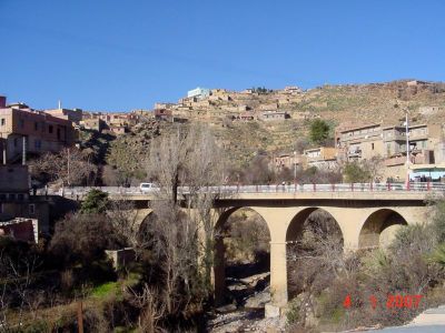
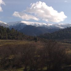
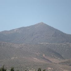
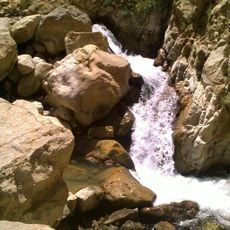
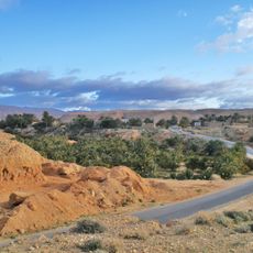
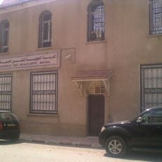
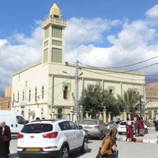
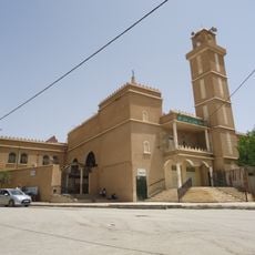
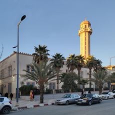
Arris is a commune in the mountainous Aurès region of eastern Algeria, situated at around 1,200 meters (3,900 feet) elevation where simple buildings and small markets define the townscape. The streets are often quiet, and mountains surround the city on all sides, creating a strong sense of closeness to nature.
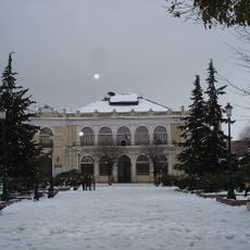
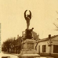
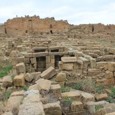
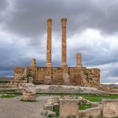
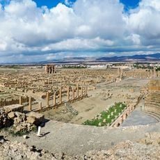
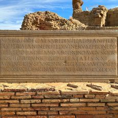
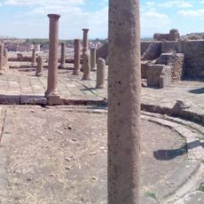
Arris was once the center of the Gaetuli Berbers who fought against the Romans, and their traces remain visible in ruins today. French colonization in the 1800s transformed the place into an administrative center with schools and roads, while the town later became an important stronghold of the independence movement.
The name Arris comes from the Berber language and reflects local identity that remains alive today. Berber traditions, language, and crafts continue to be practiced by residents, with market days showing lively vendor activity and community gatherings that maintain connection to heritage.
The town is well connected by road to nearby cities like Batna and Biskra, making it easy for visitors to travel through the area. The mountainous location means that proper gear and good walking shoes are recommended for exploring on foot.
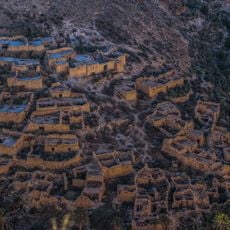
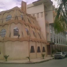
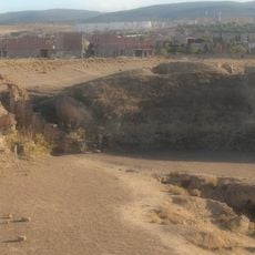
The place was once a collection of fortified storage houses called Guellaa, used for centuries by nomadic herders to store grain, tools, and livestock during seasonal movements. Some of these ancient structures still stand today and have been converted into homes.
The community of curious travelers
AroundUs brings together thousands of curated places, local tips, and hidden gems, enriched daily by 60,000 contributors worldwide.