Algeria

Log in to your account

AroundUs is a community-driven map of interesting places, built by curious explorers like you. It grows with every review, story, and photo you share.
Connect to save your favorite spots, contribute locations, and create personalized routes.
Continue with Google
Continue with Apple
Continue with X
Continue with Facebook
Continue with email
By continuing, you accept our Terms and Conditions and our Privacy Policy
Create an account
Add to collection
Map
Suggest a change
Share

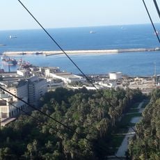
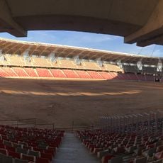
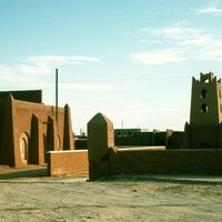
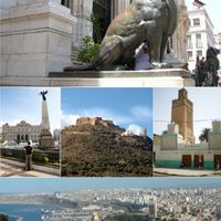
Algeria, North African country between Morocco and Tunisia.

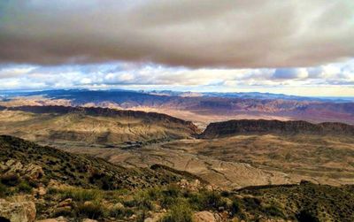
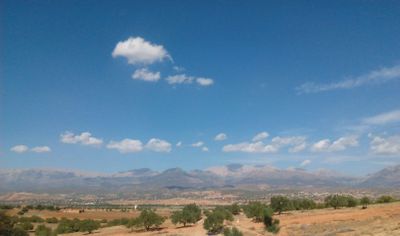
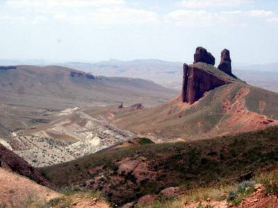
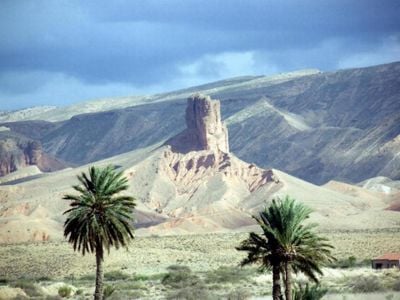
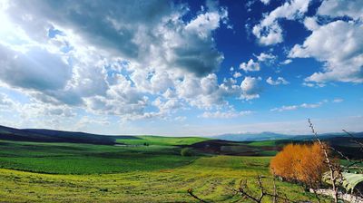
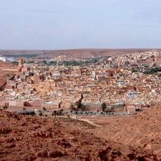
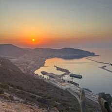
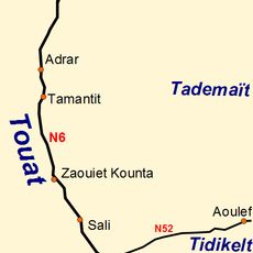
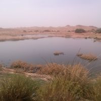
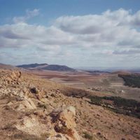
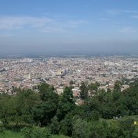
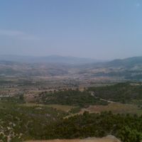
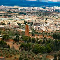
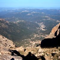
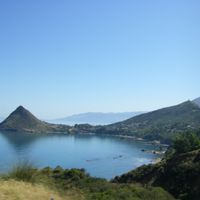
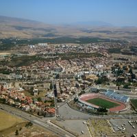
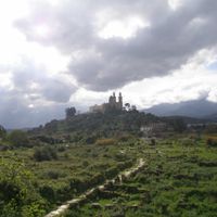
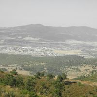
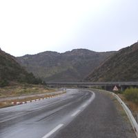
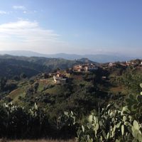
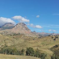
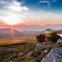
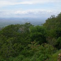
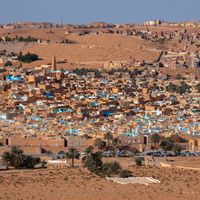
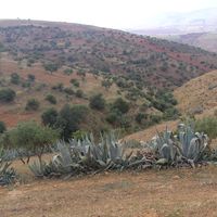
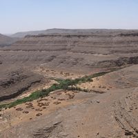
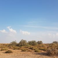
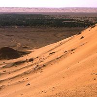
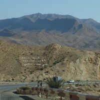
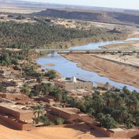
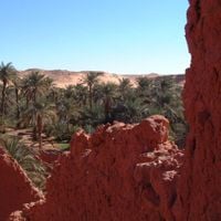
Algeria is a North African nation that stretches from the Mediterranean coast across the Atlas mountain ranges into the Sahara, covering 2.38 million square kilometers. The territory includes coastal plains in the north, mountain ranges in the center, and wide desert expanses in the south that make up most of the landmass.

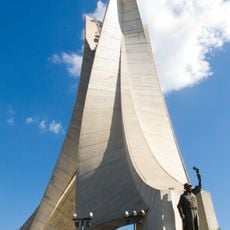
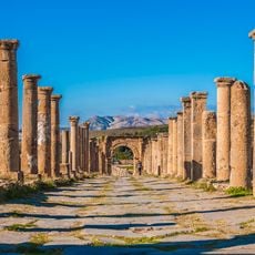
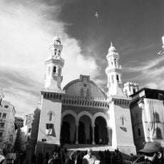
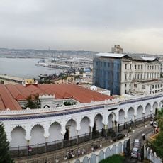
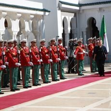
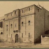
The region remained under Ottoman rule for centuries before becoming a French colony in 1830 and gaining independence in 1962 after an eight-year liberation war. The conflict claimed over one million lives and shaped the national identity of the new republic.

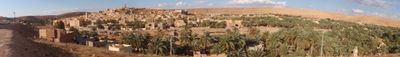
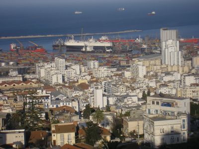
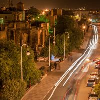
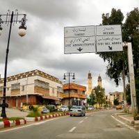
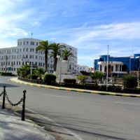
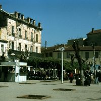
The kitchen brings together Near Eastern and Mediterranean influences, with couscous served as the main dish alongside vegetables, meat or fish. Cafés in cities like Oran and Algiers fill up in the evening with guests drinking strong coffee and chatting.

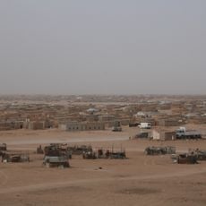
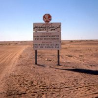
The state-controlled economy relies on oil and gas exports, which provide the bulk of foreign currency earnings. Travelers need a visa to enter, with certain southern desert areas closed to visitors.

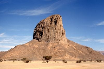
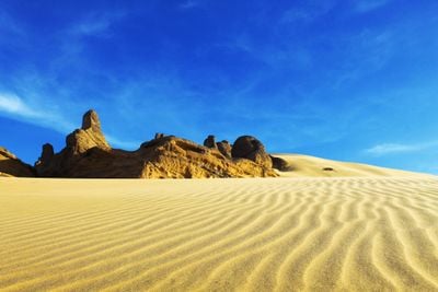
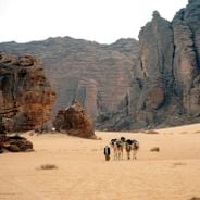
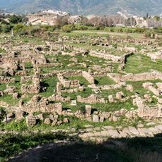
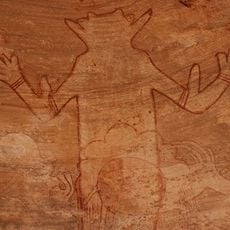
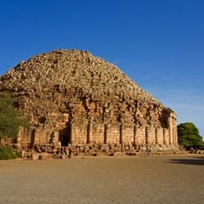
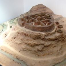
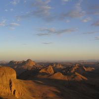
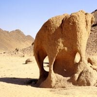
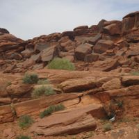
Tassili N'Ajjer National Park preserves more than 15,000 prehistoric rock carvings that depict Saharan life when the region still supported vegetation and large mammals. The images range from hunting scenes to everyday moments and document the change before desertification.

Inception: July 5, 1962

Capital city: Algiers

Part of: North Africa, Muslim world, Arab world

Shares border with: Morocco, Libya, Niger, Mali, Tunisia, Mauritania, Western Sahara, Italy, Spain

Website: https://el-mouradia.dz/ar/home

GPS coordinates: 28.00003,2.99998

Latest update: December 14, 2025 17:30

Photos
Archaeological sites and natural areas in Algeria

Algeria brings together Roman ruins, Islamic architecture and natural areas into one collection that shows the depth of the region's history and landscape. From the Mediterranean coast to the Sahara, the country offers visitors a wide range of places to explore. The north holds ancient Roman cities...

Reviews

Visited this place? Tap the stars to rate it and share your experience / photos with the community! Try now! You can cancel it anytime.

« Algeria - North African country between Morocco and Tunisia » is provided by Around Us (aroundus.com). Images and texts are derived from Wikimedia project under a Creative Commons license. You are allowed to copy, distribute, and modify copies of this page, under the conditions set by the license, as long as this note is clearly visible.

Discover hidden gems everywhere you go!

From secret cafés to breathtaking viewpoints, skip the crowded tourist spots and find places that match your style. Our app makes it easy with voice search, smart filtering, route optimization, and insider tips from travelers worldwide. Download now for the complete mobile experience.

Around Us App Screenshot

A unique approach to discovering new places

Le Figaro

All the places worth exploring

France Info

A tailor-made excursion in just a few clicks

20 Minutes