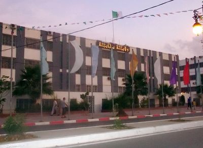
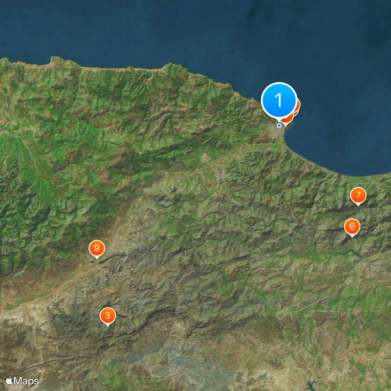
Béjaïa Province, Administrative province in northern Algeria
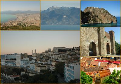
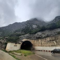
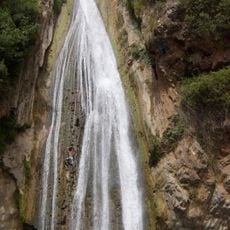
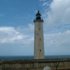
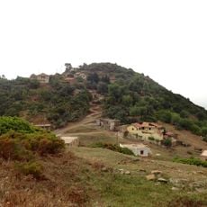
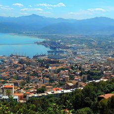
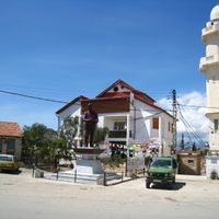
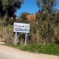
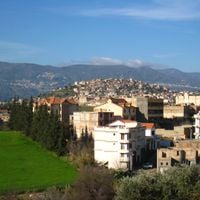
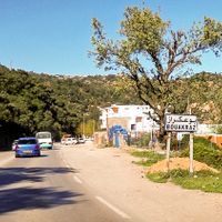
Béjaïa Province is located in northern Algeria along the Mediterranean coast, featuring mountainous terrain of the Kabylie region and fertile valleys below. The territory is divided into administrative municipalities connected by road networks that link towns and villages together.
The region became an independent province in 1974 when it separated from the Sétif administrative territory. This reorganization allowed for more localized governance and development of the area.
The province is a center of Kabyle culture, where traditional music, crafts, and cuisine shape daily life in villages and markets. Local communities maintain their customs through celebrations and family gatherings that reflect their ancestral heritage.
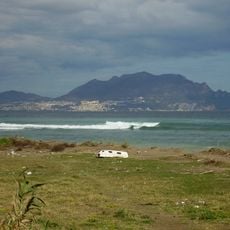
Visitors should expect varying road conditions depending on mountain elevation, with spring and autumn offering the most comfortable travel times. The coastal capital city serves as the main entry point for exploring the province and accessing different areas.
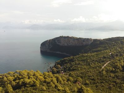
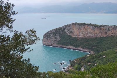
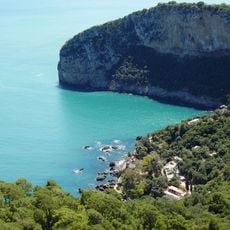
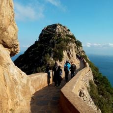
Gouraya National Park protects one of Africa's last populations of Barbary macaques, which visitors can encounter on nature walks. This location is globally recognized for these rare primates and their coastal forest habitat.
Location: Algeria
Capital city: Béjaïa
Elevation above the sea: 30 m
Reference: 06
Shares border with: Jijel Province, Sétif Province, Bordj Bou Arréridj Province, Bouira Province, Tizi Ouzou Province
GPS coordinates: 36.75000,5.06667
Latest update: December 17, 2025 09:31
Yemma Gouraya
2.7 km
Kalâa of Ait Abbas
66.6 km
Gouraya National Park
3.5 km
Carbon Cape Lighthouse
4.4 km
Kherrata Tunnel
33.4 km
Kefrida Waterfall
28.2 km
Casbah of Béjaïa
1.5 km
Gueldaman caves
57 km
Monkeys Peak
3.4 km
Tubusuctu
22.9 km
Cap Sigli Lighthouse
31.8 km
Iεemranen
23.9 kmSidi Klifa beach
51.2 km
Parc zoologique Keffous
56.6 km
Aire de repos
2.9 kmPlace Gueydon
1.7 kmCascade de Kefrida
28.2 kmCiternes Romaines
1.7 kmPorte Fouka
1.4 kmImedjrouradh
62.3 kmDjerba 2
10.9 kmBoulimat archipelago
10.4 kmIguer Amokran
50.8 kmIkharvan
51 kmArmila
50.9 kmPlace du 1er Novembre 1954
1.7 kmTimri Llehcene
25.5 kmPlage Ait Mendil
35 kmVisited this place? Tap the stars to rate it and share your experience / photos with the community! Try now! You can cancel it anytime.
Adekar District
Akbou District
Amizour District
Aokas District
Barbacha District
Béjaïa District
Béni Maouche District
Chemini District
Darguina District
El Kseur District
Ifri-Ouzellaguen District
Ighil Ali District
Kherrata District
Seddouk District
Sidi Aïch District
Souk El Tenine District
Tazmalt District
Tichy District
Timezrit District
Discover hidden gems everywhere you go!
From secret cafés to breathtaking viewpoints, skip the crowded tourist spots and find places that match your style. Our app makes it easy with voice search, smart filtering, route optimization, and insider tips from travelers worldwide. Download now for the complete mobile experience.
A unique approach to discovering new places❞
— Le Figaro
All the places worth exploring❞
— France Info
A tailor-made excursion in just a few clicks❞
— 20 Minutes