Djelfa Province, Administrative province in central Algeria.
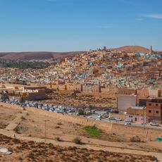
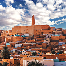
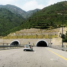
Djelfa Province is an administrative region in central Algeria covering varied landscapes that shift gradually from north to south. The terrain transitions from steppe plains in northern areas to true desert environments further south, encompassing twelve districts spread across a large territory.
The province was created in 1974 following an administrative reorganization that merged portions of several existing territories into a single unit. This territorial restructuring established the current boundaries and administrative framework that remain in place today.
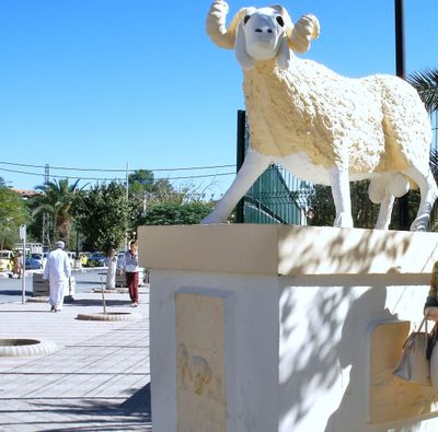
The region is home to both nomadic and settled communities whose way of life reflects adaptation to harsh climate conditions. Visitors can observe how daily routines center on farming and herding, traditions that remain woven into the fabric of local society.
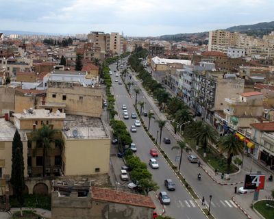
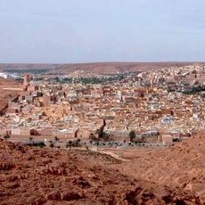
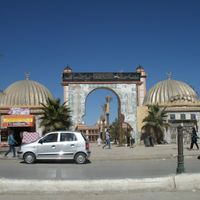
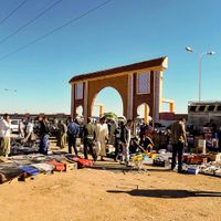
The city of Djelfa serves as the main administrative and economic center where most services and facilities are concentrated. Travelers should prepare accordingly for the harsh climate conditions, particularly when exploring the southern desert regions of the province.
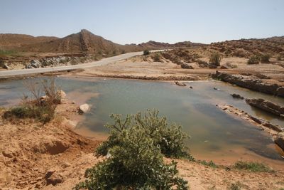
North of the city stands the Rocher de Sel formation, a geological feature shaped by rainfall erosion of rock salt and marl deposits over long periods. This unusual landscape offers insight into how water and weathering transform mineral-rich rock in an arid environment.
The community of curious travelers
AroundUs brings together thousands of curated places, local tips, and hidden gems, enriched daily by 60,000 contributors worldwide.