Tamanrasset Province, Administrative province in southern Algeria
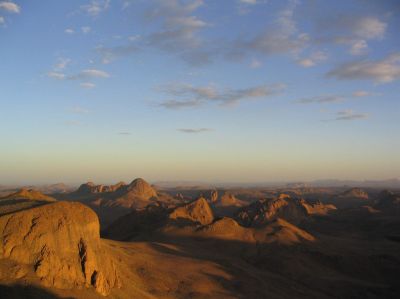
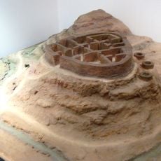
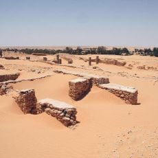
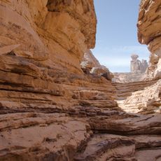
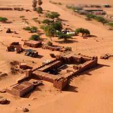
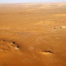
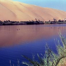
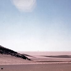
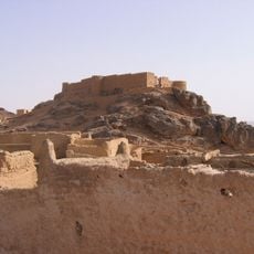
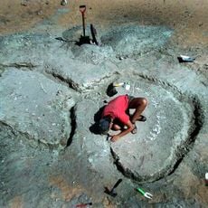
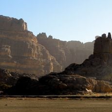
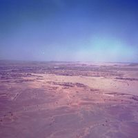
Tamanrasset Province is an administrative region in southern Algeria that spans large desert areas containing the Hoggar Mountains and several national parks. The landscape displays varied geological formations and rock formations that shape the terrain.
The region received its current administrative structure in 1974 when Algeria reorganized its territorial divisions. This process brought together various previously separate areas under one designation.
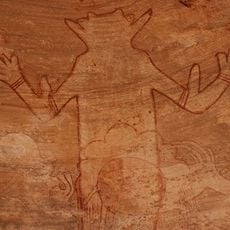
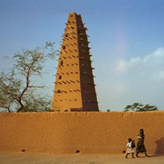
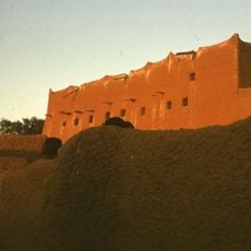
The Tuareg communities here live with their traditional customs visible in everyday dress, local markets, and handicrafts that reflect generations of desert life. Daily interactions show how local people navigate both traditional ways and modern needs.
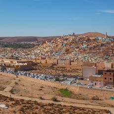
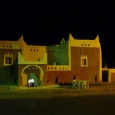
The region is best reached via the Trans-Sahara Highway, which serves as the main transportation route. Accommodations and tours center on Tamanrasset city, while desert exploration typically happens with local guides.
Mount Tahat rises to 3,003 meters (9,852 feet) within the province and is Algeria's highest point. The peak draws experienced hikers who undertake the steep climb through rugged mountain terrain.
The community of curious travelers
AroundUs brings together thousands of curated places, local tips, and hidden gems, enriched daily by 60,000 contributors worldwide.